Neoclassicism
3,575 heritage sites from the period Neoclassicism: c. 1780 to 1850.
The map shows all 3,575 results.
-
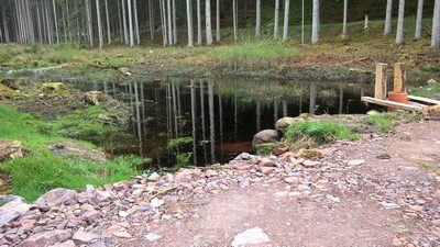
Ehemaliger Torfstich
Bogs and Mires Peat Cuttings ID 42609
-
Ehemaliger Torfstich
Bogs and Mires Peat Cuttings ID 42610
-
Eingeschossiges Unterstallhaus mit Flurküche
Residential and Farm Buildings Farmhouses and Farm Buildings ID 35163
-
Unterstallhaus mit Flurküche
Residential and Farm Buildings Farmhouses and Farm Buildings ID 57664
-
Wohnhaus
Residential and Farm Buildings Farmhouses and Farm Buildings ID 35164
-
Wohnhaus
Residential and Farm Buildings Farmhouses and Farm Buildings ID 57666
-
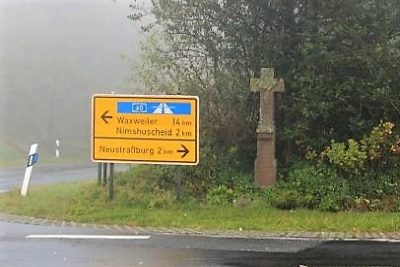
Ortsgeschichte Neustraßburg
Place Names / Local History ID 9115
-
Gehöft
Residential and Farm Buildings Farmhouses and Farm Buildings ID 8138
-
Hasenmühle am Frohnbach
Engineering Structures and Industrial Sites Mills ID 8439
-
Quereinhaus
Residential and Farm Buildings Farmhouses and Farm Buildings ID 15530
-
Wohnhaus
Residential and Farm Buildings Farmhouses and Farm Buildings ID 15531
-
Ehemalige Lehmgrube
Economy, Trade and Transport Extraction and Processing of Raw Materials ID 44665
-
Ehemalige Erzgrube
Economy, Trade and Transport Extraction and Processing of Raw Materials ID 44691
-
Ehemalige Erzgrube
Economy, Trade and Transport Extraction and Processing of Raw Materials ID 44692
-
Ehemalige Erzgrube
Economy, Trade and Transport Extraction and Processing of Raw Materials ID 44693
-
Ehemalige Erzgrube
Economy, Trade and Transport Extraction and Processing of Raw Materials ID 44694
-
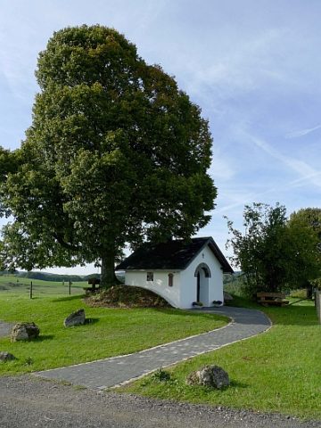
Pilgerkapelle
Religious Buildings Chapels ID 51641
-
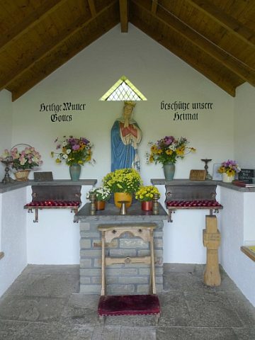
Pilgerkapelle - Ausstattung
Religious Buildings Chapels ID 19064
-
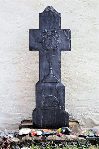
Sankt Peter und Paul - Grabkreuz Schreiper
Katholische Pfarrkirche
Religious Buildings Burial Sites ID 49456
-
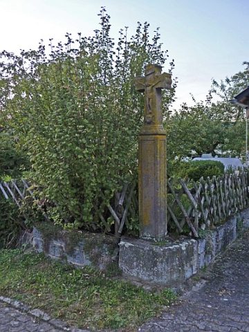
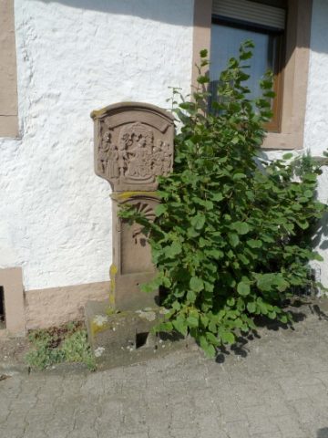
Schaftkreuz
Bei Alter Graben 1
Religious Buildings Wayside Shrines and Stations of the Cross ID 8201
-
Stationenweg - 1. Station
Religious Buildings Wayside Shrines and Stations of the Cross ID 3491
-
Ehemalige Steingrube
Economy, Trade and Transport Extraction and Processing of Raw Materials ID 44661
-
Ehemaliger Kalkofen
Economy, Trade and Transport Lime Kilns ID 44642
-
Brücke über den Keutelbach
Economy, Trade and Transport Road Transport ID 14623
-
Lambertuskreuz
Religious Buildings Wayside Shrines and Stations of the Cross ID 6536
-
Streckhof
Residential and Farm Buildings Farmhouses and Farm Buildings ID 11265
-
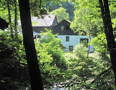
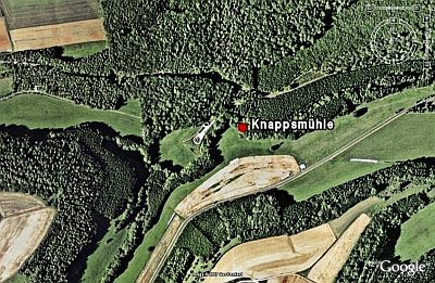
Wüstung Knappmühle
Settlements Deserted Settlements ID 459
-
Ehemaliger Meilenzeiger
Markers and Monuments Surveying ID 52957
-
Ehemalige Furt durch die Our
Economy, Trade and Transport Fords ID 44126
-
Ortsgeschichte Karschelt
Place Names / Local History ID 10303
-
Ruine der ehemaligen Lorenzmühle
Im Ourtal
Engineering Structures and Industrial Sites Mills ID 8121
-
Wegekreuz an der Landesstraße 1 nach Dasburg
Religious Buildings Wayside Shrines and Stations of the Cross ID 8119
-
Weiler Bei der weissen Geis
Settlements Deserted Settlements ID 45794
-
Weiler Beim Belgier
Settlements Deserted Settlements ID 45795
-
Weiler Beim Leinenweber
Settlements Deserted Settlements ID 45793
-
Weiler Friedrichsseif
Settlements Deserted Settlements ID 45796
-
Weiler Auf dem Bommert
Settlements Deserted Settlements ID 45787
-
Haus Burgberg
Place Names / Local History ID 45788
-
Haus Islek
Residential and Farm Buildings Farmhouses and Farm Buildings ID 11273
-
Historischer Hauseingang von 1782
Sogenanntes Michelshaus
Residential and Farm Buildings Farmhouses and Farm Buildings ID 11269
-
Weiler Laarberg
Settlements Deserted Settlements ID 45789
-
Ehemaliger Weiler Kuhkirchhof
Settlements Deserted Settlements ID 45786
-
Altes Schulgebäude
Educational Institutions Schools ID 16586