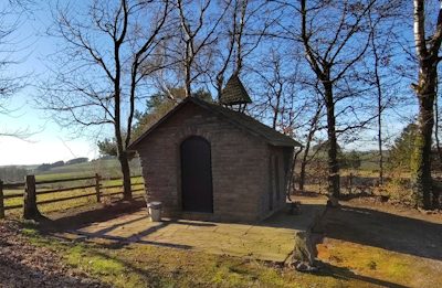
Chapels


Database of cultural heritage in the Trier region
From prehistoric menhirs, monumental Roman buildings and medieval castles to testimonies of the 20th century – described, photographed and located.
50,024 objects · 51,095 pictures · 555 towns and municipalities · maintained since 1992
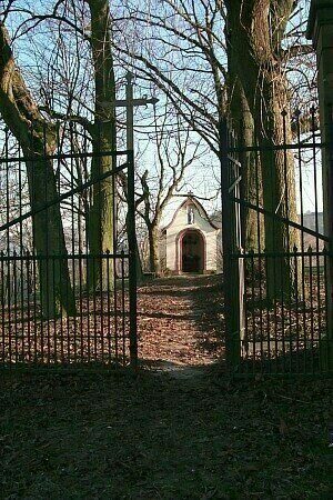 Monument of the month · November 2026
Lambertskirchhof
Ayl
As of 25 Sep 2026 · 158 objects new or revised · 50,025 records ·
42,168 pictures
All new and revised objects since 25 Jun 2026
· Description of the database (PDF, German)
Chapels
Viewpoints
Extraction and Processing of Raw Materials
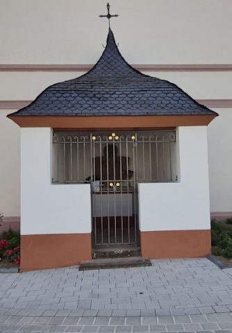
Chapels
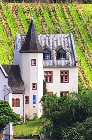
Schools
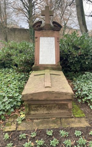
Burial Sites
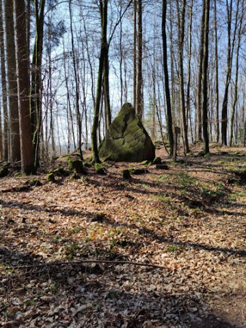
Rocks
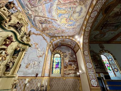
Catholic Churches
Our thanks also go to the several hundred people who have contributed pictures and descriptions over the years – their names are given with the respective objects.
The Trier region is one of the most historic regions in Europe: prehistoric menhirs, monumental Roman buildings, medieval castles and towns, magnificent Baroque buildings, wine villages and wine estates, many technical monuments and testimonies of the once flourishing Jewish culture of the Trier region are waiting for you to visit them.
The aim of the database is to record all architectural monuments, technical monuments, natural monuments, deserted settlements and museums in the city of Trier and the districts of Bernkastel-Wittlich, Trier-Saarburg, Vulkaneifel and the Eifelkreis Bitburg-Prüm.
The Kulturdatenbank is a purely private website run by volunteers and pursues exclusively non-commercial purposes.
The Kulturdatenbank also contains several entries on buildings constructed during the period of National Socialist tyranny. They are silent witnesses to the catastrophic consequences of nationalist megalomania and of intolerance and violence towards dissenters, foreigners and national minorities. In this context, the authors of the Kulturdatenbank expressly distance themselves from any kind of revival of National Socialist ideology.
Do you have further information and/or pictures of a cultural monument in the Trier region? We welcome any additional information – please send us an e-mail.