Rocks · Undated
Bischofskappe
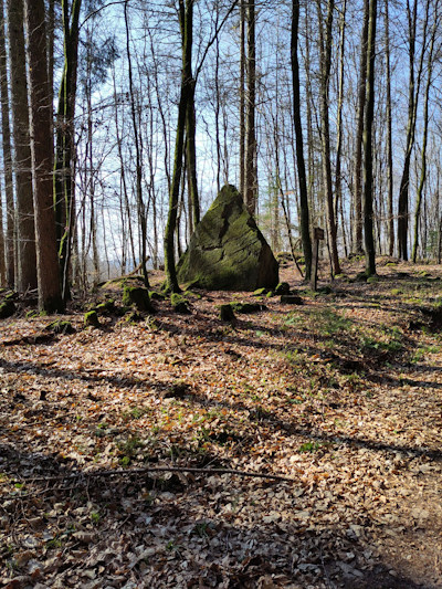
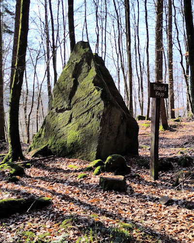
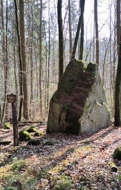
Description
This description is only available in German.
Translate with Google opens this page in Google Translate (external service)
Ein Fels in der Form einer Bischofsmütze. [1]
Classification
- Subject area
- Natural Features
- Category
- Rocks
- Date
- Undatiert
- Period
- Undated
Location
- District
- Eifelkreis Bitburg-Prüm
- Collective municipality
- Südeifel
- Municipality
- Wallendorf
- Field name
- Im Wallendorfer Wald
- Coordinates
- WGS 84: 49.864102, 6.324810 (Position: exact) WGS 84: 49° 51′ 50.8″ N, 6° 19′ 29.3″ E UTM 32 (ETRS89): E 307749 · N 5526954
Sources
Data sources
- [1] Seite „Wallendorf (Eifel)“. In: Wikipedia – Die freie Enzyklopädie. Bearbeitungsstand: 8. Februar 2023, 02:58 UTC. URL: https://de.wikipedia.org/w/index.php?title=Wallendorf_(Eifel)&oldid… (Abgerufen: 13. März 2023, 09:31 UTC)
- [2] Geodaten von OpenStreetMap die freie Weltkarte. www.openstreetmap.org/copyright
On the internet
Picture credits
Last edited: 10 Sep 2026 Object ID: 1537
https://kulturdb.de/en/objekt/1537-wallendorf-bischofskappe
Nearby
The nearest objects
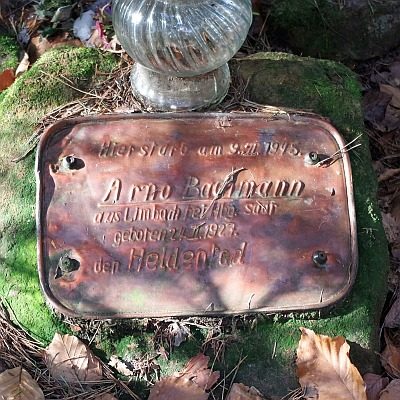 230 m
Wayside Shrines and Stations of the Cross
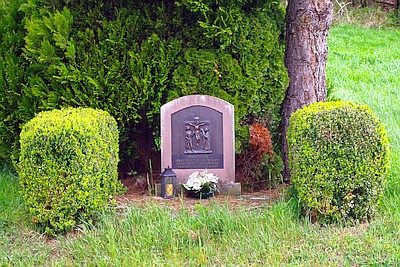
Gefallenenkreuz für Arno Bachmann
 880 m
Charcoal Kilns
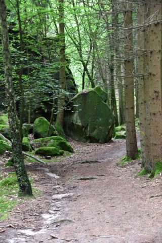
Ehemaliger Meilerplatz Moarkendell
 900 m
Wayside Shrines and Stations of the Cross
Wegebild
No picture
960 m
Cultural Layers
Völkerhöhle - Kulturschichten
No picture
960 m
Caves
Völkerhöhle
No picture
1.0 km
Fortresses and Bunkers
Westwall - Bunker ohne Kampfraum
No picture
1.0 km
Fortresses and Bunkers
Westwall - Bunker
 1.1 km
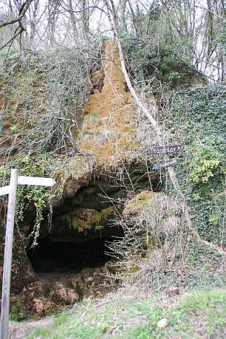
Rocks