Charcoal Kilns · Baroque / Rococo
Ehemaliger Meilerplatz Moarkendell
- Listed monument


Description
This description is only available in German.
Translate with Google opens this page in Google Translate (external service)
Das "Moarkendell" genannte Tal, wo schwarze Verfärbungen im Boden an die Kohlemeiler erinnern, die hier früher zur Gewinnung von Holzkohle brannten. [1]
Classification
- Subject area
- Architectural and Art Monuments
- Category
- Economy, Trade and Transport
- Object type
- Charcoal Kilns
- Date
- 1760-1810
- Period
- Baroque / Rococo
Location
- District
- Eifelkreis Bitburg-Prüm
- Collective municipality
- Südeifel
- Municipality
- Bollendorf
- Field name
- Im und aufm Weitberg
- Coordinates
- WGS 84: 49.858753, 6.333898 (Position: exact) WGS 84: 49° 51′ 31.5″ N, 6° 20′ 02.0″ E UTM 32 (ETRS89): E 308381 · N 5526336
Sources
Data sources
- [1] Tourist Information Bollendorf https://www.naturpark-suedeifel.de/a-rundweg-nr-55-bollendorf
On the internet
naturpark-suedeifel.de/a-rundweg-nr-55-bollendorf
Picture credits
Last edited: 25 Nov 2024 Object ID: 53282
https://kulturdb.de/en/objekt/53282-bollendorf-ehemaliger-meilerplatz-moarkendell
Nearby
The nearest objects
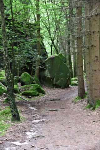 20 m
Rocks
Moarkendell
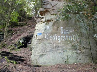 180 m
Rocks
Predigtstuhl - 2. Abschnitt
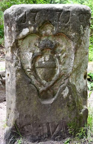 460 m
Surveying
Maria-Theresien-Stein
510 m
Rocks
Predigtstuhl - 1. Abschnitt
Fortresses and Bunkers
Westwall - Bunker
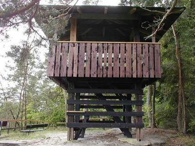 650 m
Observation Towers
Aussichtsturm auf der Lingelslay
Fortresses and Bunkers
Westwall - Bunker
 810 m
Rocks