Charbonnières · Baroque / Rococo
Ehemaliger Meilerplatz Moarkendell
- Monument classé


Description
La description n'est disponible qu'en allemand.
Traduire avec Google ouvre la page dans Google Traduction (service externe)
Das "Moarkendell" genannte Tal, wo schwarze Verfärbungen im Boden an die Kohlemeiler erinnern, die hier früher zur Gewinnung von Holzkohle brannten. [1]
Classification
- Catégorie
- Économie, commerce et transports
- Type d'objet
- Charbonnières
- Date
- 1760-1810
- Période
- Baroque / Rococo
Localisation
- Arrondissement
- Eifelkreis Bitburg-Prüm
- Communauté de communes
- Südeifel
- Commune
- Bollendorf
- Lieu-dit
- Im und aufm Weitberg
- Coordonnées
- WGS 84 : 49.858753, 6.333898 (Position : exacte) WGS 84 : 49° 51′ 31,5″ N, 6° 20′ 02,0″ E UTM 32 (ETRS89) : E 308381 · N 5526336
Sources
Sources des données
- [1] Tourist Information Bollendorf https://www.naturpark-suedeifel.de/a-rundweg-nr-55-bollendorf
Sur Internet
naturpark-suedeifel.de/a-rundweg-nr-55-bollendorf
Crédits photos
Dernière modification : 25 nov. 2024 Identifiant de l'objet : 53282
https://kulturdb.de/fr/objekt/53282-bollendorf-ehemaliger-meilerplatz-moarkendell
À proximité
Les objets les plus proches
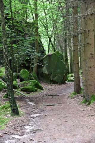 20 m
Rochers
Moarkendell
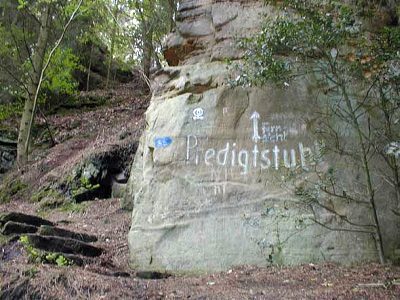 180 m
Rochers
Predigtstuhl - 2. Abschnitt
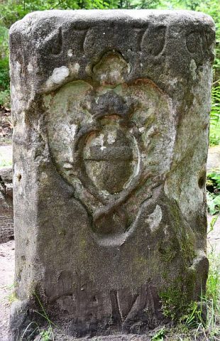 460 m
Arpentage
Maria-Theresien-Stein
510 m
Rochers
Predigtstuhl - 1. Abschnitt
Forteresses et bunkers
Westwall - Bunker
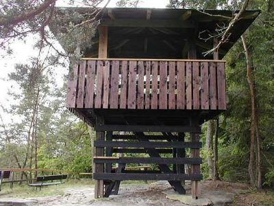 650 m
Tours d'observation
Aussichtsturm auf der Lingelslay
Forteresses et bunkers
Westwall - Bunker
 810 m
Rochers