Rocks · Undated
Lingelslay - 2. Abschnitt
Naturdenkmal
- Listed monument


Classification
- Subject area
- Natural Features
- Category
- Rocks
- Date
- Undatiert
- Period
- Undated
Location
- District
- Eifelkreis Bitburg-Prüm
- Collective municipality
- Südeifel
- Municipality
- Bollendorf
- Field name
- In der Huf
- Coordinates
- WGS 84: 49.851522, 6.335393 (Position: exact) WGS 84: 49° 51′ 05.5″ N, 6° 20′ 07.4″ E UTM 32 (ETRS89): E 308460 · N 5525528
Sources
Data sources
- [1] GeoPortal des Landes Rheinland-Pfalz. http://www.geoportal.rlp.de/
On the internet
Picture credits
Last edited: 23 Apr 2004 Object ID: 24555
https://kulturdb.de/en/objekt/24555-bollendorf-lingelslay-2-abschnitt
Nearby
The nearest objects
No picture
410 m
Field Names
Hinter Wersterheld
No picture
420 m
Find Sites
Münzhort
 430 m
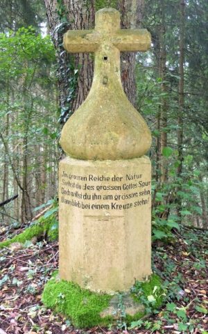
Wayside Shrines and Stations of the Cross
Wegekreuz gegenüber der Marienkapelle
 440 m
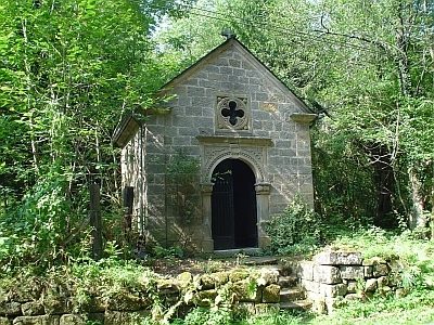
Chapels
Marienkapelle am Schankberg
 520 m
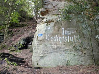
Rocks
Predigtstuhl - 1. Abschnitt
 550 m
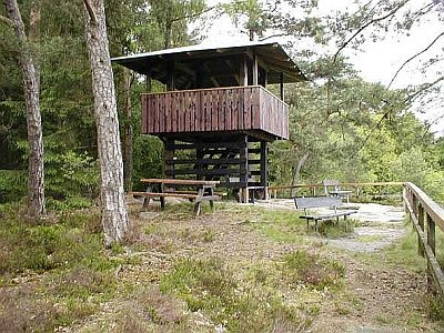
Rocks
Lingelslay - 3. Abschnitt
No picture
590 m
Fords
Ehemalige Furt durch die Sauer
640 m
Rocks