Surveying · Baroque / Rococo
Maria-Theresien-Stein
- Listed monument


Description
This description is only available in German.
Translate with Google opens this page in Google Translate (external service)
Der Maria-Theresien-Stein ist ein aus dem Jahr 1771 stammender Grenzstein zwischen den Gebieten der Grafschaft Vianden und der Echternacher Reichsabtei. [1]
Classification
- Subject area
- Architectural and Art Monuments
- Category
- Markers and Monuments
- Object type
- Surveying
- Date
- 1771
- Period
- Baroque / Rococo
Location
- District
- Eifelkreis Bitburg-Prüm
- Collective municipality
- Südeifel
- Municipality
- Bollendorf
- Field name
- Auf dem Weitberg
- Coordinates
- WGS 84: 49.861543, 6.338594 (Position: exact) WGS 84: 49° 51′ 41.6″ N, 6° 20′ 18.9″ E UTM 32 (ETRS89): E 308729 · N 5526634
Sources
Data sources
- [1] Seite „Sauertal-Radweg“. In: Wikipedia – Die freie Enzyklopädie. Bearbeitungsstand: 27. Dezember 2023, 14:52 UTC. URL: https://de.wikipedia.org/w/index.php?title=Sauertal-Radweg&oldid=24… (Abgerufen: 3. August 2024, 13:14 UTC)
On the internet
Picture credits
Last edited: 3 Aug 2024 Object ID: 566
https://kulturdb.de/en/objekt/566-bollendorf-maria-theresien-stein
Nearby
The nearest objects
No picture
60 m
Fortresses and Bunkers
Westwall - Bunker
No picture
400 m
Fortresses and Bunkers
Westwall - Bunker
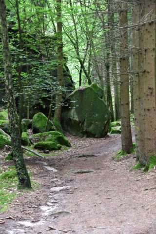 440 m
Rocks
Moarkendell
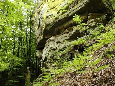 460 m
Rocks
Heidenlay
460 m
Charcoal Kilns
Ehemaliger Meilerplatz Moarkendell
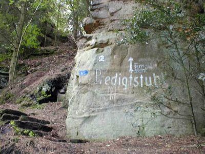 620 m
Rocks
Predigtstuhl - 2. Abschnitt
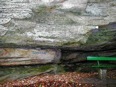 680 m
Rocks
Nikolauslay
 760 m
Observation Towers