Eifelkreis Bitburg-Prüm
13,378 heritage sites in Eifelkreis Bitburg-Prüm in the Kulturdatenbank Region Trier.
The map shows all 13,378 results.
-
Römische Siedlung
Settlements Settlements ID 12790
-
Römische Siedlungsstelle
Settlements Settlements ID 10340
-
Römische Töpferei
Economy, Trade and Transport Extraction and Processing of Raw Materials ID 4502
-
Römische Töpferei
Economy, Trade and Transport Extraction and Processing of Raw Materials ID 12792
-
Römische Töpferei
Economy, Trade and Transport Extraction and Processing of Raw Materials ID 12793
-
Römische Töpferei
Economy, Trade and Transport Extraction and Processing of Raw Materials ID 12794
-
Römische Töpfersiedlung
Settlements Settlements ID 12788
-
Römische Töpferöfen
Economy, Trade and Transport Extraction and Processing of Raw Materials ID 10319
-
Römische Töpferöfen
Schankwies
Economy, Trade and Transport Extraction and Processing of Raw Materials ID 10320
-
Römische Töpferöfen
Zwischen den Wolfshecken
Economy, Trade and Transport Extraction and Processing of Raw Materials ID 10321
-
Römische Töpferöfen
Unterst Wolfsheck
Economy, Trade and Transport Extraction and Processing of Raw Materials ID 10322
-
Römische Töpferöfen
Unter der Stieresheck
Economy, Trade and Transport Extraction and Processing of Raw Materials ID 10323
-
Römische Töpferöfen
Bei der Lammerwies
Economy, Trade and Transport Extraction and Processing of Raw Materials ID 10324
-
Römische Töpferöfen
Economy, Trade and Transport Extraction and Processing of Raw Materials ID 10325
-
Römische Töpferöfen
Jenseits Binsfelderweg und Hinterm Niersbacherweg
Economy, Trade and Transport Extraction and Processing of Raw Materials ID 10326
-
Römische Töpferöfen
Economy, Trade and Transport Extraction and Processing of Raw Materials ID 10327
-
Römische Töpferöfen
Economy, Trade and Transport Extraction and Processing of Raw Materials ID 10408
-
Sankt Eligius - Nothelferwallfahrt
Katholische Pfarrkirche und Wallfahrtskirche
Religious Buildings Pilgrimage Sites ID 6241
-
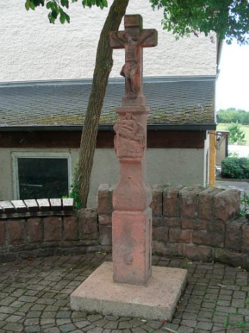
Schaftkreuz
An einem Feldweg westlich des Ortes
Religious Buildings Wayside Shrines and Stations of the Cross ID 8318
-
Schaftkreuz
Religious Buildings Wayside Shrines and Stations of the Cross ID 32836
-
Schaftkreuz
Religious Buildings Wayside Shrines and Stations of the Cross ID 35169
-
Vorderst Langfuhr
Field Names ID 34313
-
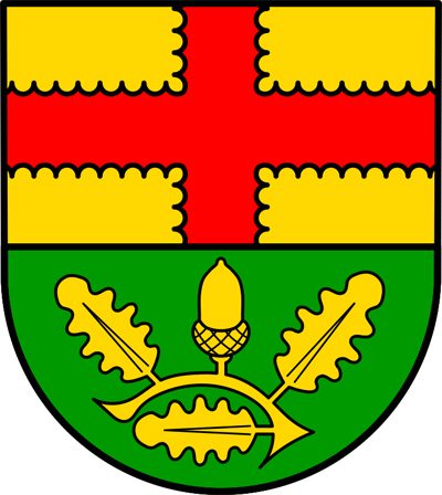
Wappen der Gemeinde Herforst
Coats of Arms ID 9059
-
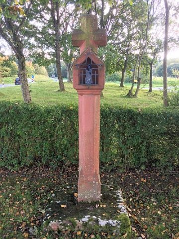
Wegekreuz
Religious Buildings Wayside Shrines and Stations of the Cross ID 32835
-
Wegekreuz südlich des Ortes
Religious Buildings Wayside Shrines and Stations of the Cross ID 8317
-
Wolfshecken Seifen
Field Names ID 36825
-
Zwischen den Wolfshecken
Field Names ID 36828
-
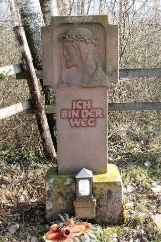
Wegekreuz
Religious Buildings Wayside Shrines and Stations of the Cross ID 25513
-
Wegekreuz
Religious Buildings Wayside Shrines and Stations of the Cross ID 25514
-
Spuren einer Römerstraße
Economy, Trade and Transport Road Transport ID 4670
-
Wegekreuz
Religious Buildings Wayside Shrines and Stations of the Cross ID 25527
-
Wegekreuz
Religious Buildings Wayside Shrines and Stations of the Cross ID 25528
-
Wegekreuz
Religious Buildings Wayside Shrines and Stations of the Cross ID 25529
-
Auf Pfaffenberg
Field Names ID 29051
-
Auf dem Wittumhof
Field Names ID 29098
-
Auf den vier Morgen
Field Names ID 29249
-
Bei der Sandkaul
Field Names ID 40726
-
Beim Daxborn
Field Names ID 31974
-
Ehemaliger Kalkofen
Economy, Trade and Transport Lime Kilns ID 35635
-
Ehemaliger Torfstich
Bogs and Mires Peat Cuttings ID 41054
-
Ehemaliger Torfstich
Bogs and Mires Peat Cuttings ID 41055
-
Ehemaliger Torfstich
Bogs and Mires Peat Cuttings ID 41057
-
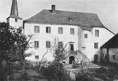
Hersdorfer Schlösschen
Ehemaliger Adelshof
Residential and Farm Buildings Farmhouses and Farm Buildings ID 6555
-
Hochmoor von Hersdorf
Bogs and Mires Raised Bogs ID 19009
-
Im Bornpesch
Field Names ID 27179
-
Im Gielesbungert
Field Names ID 28070