Trier-Saarburg
12,925 heritage sites in Trier-Saarburg in the Kulturdatenbank Region Trier.
The map shows all 12,925 results.
-
Moseltalbahn - Ehemaliger Haltepunkt
Engineering Structures and Industrial Sites Railways ID 34797
-
Olkgarten
Field Names ID 39708
-
Quereinhaus
Residential and Farm Buildings Farmhouses and Farm Buildings ID 15393
-
Römischer Kalkofen
Economy, Trade and Transport Lime Kilns ID 12217
-
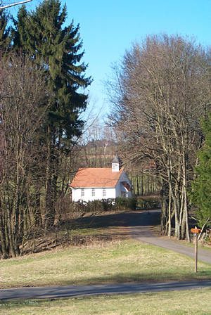
Sage zur Laurentiuskapelle
Religious Buildings Chapels ID 6253
-
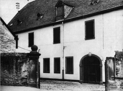
Sogenanntes Moselkloster
Residential and Farm Buildings Farmhouses and Farm Buildings ID 2769
-
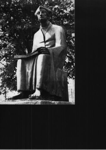
Standbild des Johannes Trithemius
Markers and Monuments Works of Art ID 6847
-
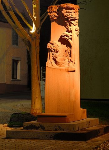
Stefan-Andres-Denkmal
Markers and Monuments Monuments ID 24019
-
Trittenheim Fährfels
Leuchtpunkt der biologischen Vielfalt
Natural Landscapes Biodiversity Hotspot ID 52809
-
Viertel Wingert
Vineyard Sites ID 42562
-
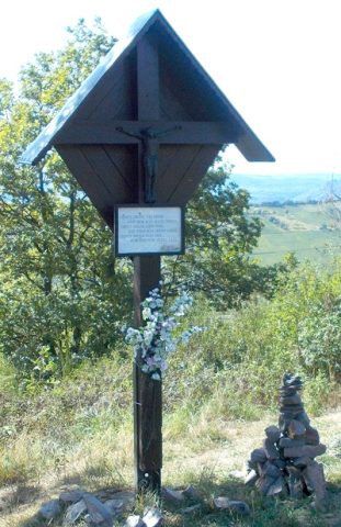
Wegekreuz
Religious Buildings Wayside Shrines and Stations of the Cross ID 48473
-
Wegekreuz unterm Fahrfels
Religious Buildings Wayside Shrines and Stations of the Cross ID 32638
-
Wohnhaus
Residential and Farm Buildings Farmhouses and Farm Buildings ID 15387
-
Wohnhaus
Residential and Farm Buildings Farmhouses and Farm Buildings ID 15388
-
Wohnhaus
Residential and Farm Buildings Town Houses and Commercial Buildings ID 15389
-
Wohnhaus
Residential and Farm Buildings Farmhouses and Farm Buildings ID 15394
-
Wohnhaus
Residential and Farm Buildings Farmhouses and Farm Buildings ID 15395
-
Wohnhaus eines Weingutes
Residential and Farm Buildings Town Houses and Commercial Buildings ID 15407
-
Zwergfeld
Field Names ID 36604
-
Beim Heidenpütz
Field Names ID 39515
-
Beim Kriegerborn
Field Names ID 30711
-
Beim Schmerborn
Field Names ID 30699
-
Brücherwies
Field Names ID 52092
-
Friedhofskapelle
Religious Buildings Chapels ID 17580
-
Fundstellen tierischer Versteinerungen
Geological Features Fossils ID 50933
-
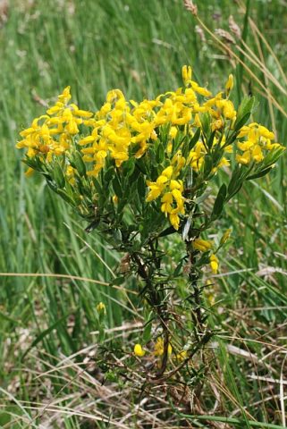
Ginsterberg
Field Names ID 46451
-
Kirschelborn
Field Names ID 30733
-
Kriegerborngewann
Field Names ID 30713
-
Oberm Kirschelborn
Field Names ID 30737
-
Ortsname / Ortsgeschichte
Place Names / Local History ID 2738
-
Reste einer Römerstraße
Economy, Trade and Transport Road Transport ID 5490
-
Rosenborngewann
Field Names ID 30754
-
Rothherrenland
Field Names ID 43396
-
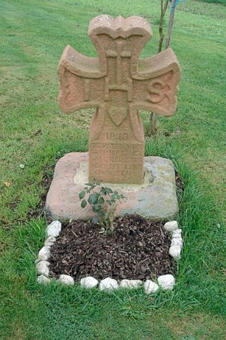
Steinkreuz
Religious Buildings Wayside Shrines and Stations of the Cross ID 24830
-
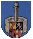
Wappen der Gemeinde Vierherrenborn
Coats of Arms ID 2727
-
Weinsberg
Field Names ID 47647
-
Westwall - Bunker
Baustärke B1 oder stärker
Fortifications and Military Sites Fortresses and Bunkers ID 22567
-
Westwall - Doppelschartenstand
Fortifications and Military Sites Fortresses and Bunkers ID 22725
-
Westwall - Doppelschartenstand
Fortifications and Military Sites Fortresses and Bunkers ID 22727