Trier-Saarburg
12,925 heritage sites in Trier-Saarburg in the Kulturdatenbank Region Trier.
The map shows all 12,925 results.
-
Kirchbruch
Field Names ID 46255
-
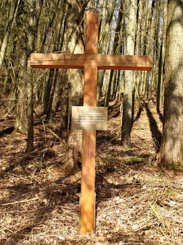
Kreuz im Mühlenwald
Religious Buildings Wayside Shrines and Stations of the Cross ID 32382
-
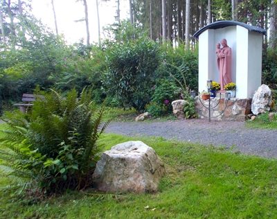
Mariengrotte im Füllbachtal
Religious Buildings Marian Grottoes ID 24852
-
Unter den Lehmkaulen
Field Names ID 35887
-
Vogelsang
Field Names ID 42577
-
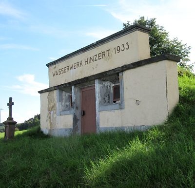
Wasserwerk Hinzert
Water Supply Waterworks ID 51196
-
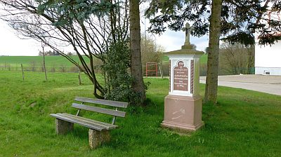
Wegekreuz
Religious Buildings Wayside Shrines and Stations of the Cross ID 25389
-
Westwall - Bunker
Baustärke B1 oder stärker
Fortifications and Military Sites Fortresses and Bunkers ID 22232
-
Philippsmühle am Liebenbach
Engineering Structures and Industrial Sites Mills ID 7761
-
Auf der Hostert
Field Names ID 27916
-
Auf der Hundsflur im Hark
Field Names ID 44455
-
Aufm Hohrech
Field Names ID 29620
-
Aufm Kirchenrech
Field Names ID 46103
-
Dimmelborn
Field Names ID 30925
-
Dimmelborn
Field Names ID 30932
-
Halbe Morgen
Field Names ID 29269
-
Hemmes-Kreuz
Religious Buildings Wayside Shrines and Stations of the Cross ID 25311
-
Im Gottrech
Field Names ID 29619
-
Im Hundsflur mittelste Gewann
Field Names ID 44510
-
In der Dell
Field Names ID 45160
-
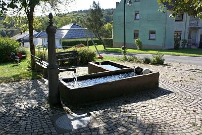
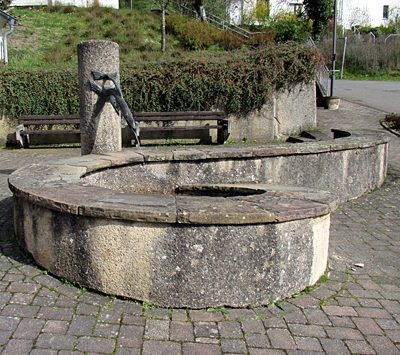
Laufbrunnen und Waschplatz
Historic Townscapes Washing Places ID 30315
-
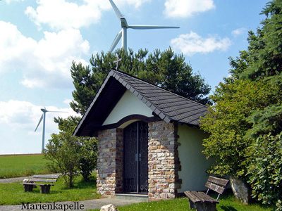
Marienkapelle
Religious Buildings Chapels ID 3452
-
Ortsname / Ortsgeschichte
Place Names / Local History ID 3451
-
Rußlandheimkehrer-Kreuz
Religious Buildings Wayside Shrines and Stations of the Cross ID 25312
-
Unten in der Dell
Field Names ID 45687
-
Unter der Leienkaul
Field Names ID 27783
-
Dankeskreuz
Religious Buildings Wayside Shrines and Stations of the Cross ID 25310
-
Das Ehrigsroth
Field Names ID 43262
-
Wolfskaul
Field Names ID 36743
-
Auf Grufhüwel
Field Names ID 44828
-
Aussichtspunkt Gieselskopf
Viewpoints ID 4517
-
Black
Field Names ID 57459
-
Die Längten im Tal
Field Names ID 52653
-
Ehemalige Drahtseilbahn - Bergstation
Economy, Trade and Transport Extraction and Processing of Raw Materials ID 50659
-
Ehemalige Eisenerzgrube
Economy, Trade and Transport Extraction and Processing of Raw Materials ID 47735
-
Ehemalige Erzgrube Bischofsheim - Tiefer Stollen
Economy, Trade and Transport Extraction and Processing of Raw Materials ID 7398
-
Ehemaliger Basaltsteinbruch
Economy, Trade and Transport Extraction and Processing of Raw Materials ID 57445
-
Erste Erwähnung als Hockweiler
Place Names / Local History ID 2455
-
Gingelsrech
Field Names ID 29621
-
Grufloch
Field Names ID 44971
-
In Gruf
Field Names ID 45450
-
In Gruf
Field Names ID 45451
-
In den Zwergfeldern
Field Names ID 36596
-
Langfuhr
Field Names ID 34333
-
Laufbrunnen vor Kirche
Fountains and Wells ID 52409
-
Morgenlängten
Field Names ID 29215