Settlements · Celtic / Roman Period
Römische Siedlungsstelle
Am Wachenbach

Description
This description is only available in German.
Translate with Google opens this page in Google Translate (external service)
Nördlich der Grenze zu Binsfeld und Landscheid.
Classification
- Subject area
- Archaeological Monuments
- Category
- Settlements
- Object type
- Settlements
- Date
- Circa 500 vor Chr. bis circa 500 nach Chr.
- Period
- Celtic / Roman Period
Location
- District
- Eifelkreis Bitburg-Prüm
- Collective municipality
- Speicher
- Municipality
- Spangdahlem
- Field name
- Saalholz
- Coordinates
- WGS 84: 49.983999, 6.723027 (Position: presumed) WGS 84: 49° 59′ 02.4″ N, 6° 43′ 22.9″ E UTM 32 (ETRS89): E 336769 · N 5539336
Sources
Data sources
- Sonderforschungsbereich 235 Zwischen Maas und Rhein. Karte: Zeugnisse zur antiken und mittelalterlichen Topographie im Umkreis der römischen Töpfereien von Speicher. Entwurf: Bernd Bienert, 1998.
On the internet
gepc189.uni-trier.de/RMnet/index.html
Picture credits
- Picture 1: © Lothar Monshausen, Fotostream http://www.flickr.com/photos/lomo56/tags/meteorite/
Last edited: 22 Sep 2005 Object ID: 10344
https://kulturdb.de/en/objekt/10344-spangdahlem-roemische-siedlungsstelle
Nearby
The nearest objects
Field Names
Hageldriesch
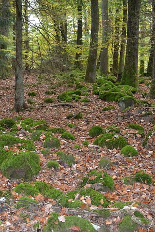 250 m
Fortresses and Bunkers
Keltische Festung Wachenbach
Field Names
Steinkaulenköpfchen
Burial Mounds
Römische Gräber
Extraction and Processing of Raw Materials
Ehemaliger Steinbruch
Place Names / Local History
Hof Mulbach
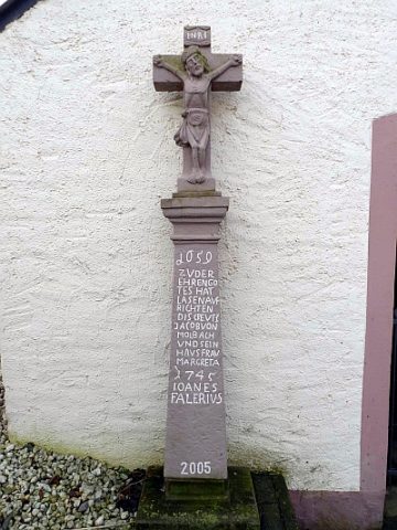 860 m
Wayside Shrines and Stations of the Cross
Kreuz vor der Mulbacher Kapelle
 860 m
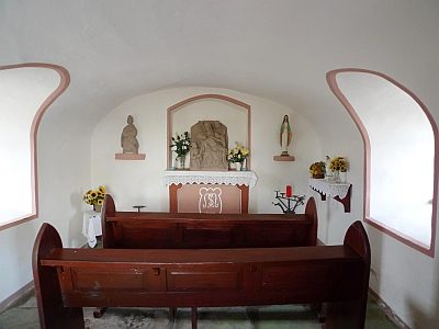
Chapels