Markers and Monuments · Baroque / Rococo
Gruppe von Marksteinen


Description
This description is only available in German.
Translate with Google opens this page in Google Translate (external service)
Am Höhenpunkt 302,0 treffen die Gemarkungen von Trier (Ehrang-Quint), Zemmer (Rodt) und Kordel aufeinander. [1]
Classification
- Subject area
- Architectural and Art Monuments
- Category
- Markers and Monuments
- Date
- 1766
- Period
- Baroque / Rococo
Location
- District
- Trier-Saarburg
- Collective municipality
- Trier-Land
- Municipality
- Zemmer
- Locality / location
- Rodt
- Field name
- Kesselstattswald
- Coordinates
- WGS 84: 49.854362, 6.679643 (Position: exact) WGS 84: 49° 51′ 15.7″ N, 6° 40′ 46.7″ E UTM 32 (ETRS89): E 333213 · N 5525020
Sources
Data sources
- [1] Jörg Busch, Trier-Biewer, 2020.
On the internet
Picture credits
Last edited: 27 Jul 2020 Object ID: 49647
https://kulturdb.de/en/objekt/49647-zemmer-gruppe-von-marksteinen
Nearby
The nearest objects
No picture
100 m
Extraction and Processing of Raw Materials
Ehemalige Sandgrube
 150 m
Charcoal Kilns
Ehemaliger Meilerplatz
210 m
Charcoal Kilns
Ehemaliger Meilerplatz
290 m
Charcoal Kilns
Ehemaliger Meilerplatz
320 m
Charcoal Kilns
Ehemaliger Meilerplatz
330 m
Charcoal Kilns
Ehemaliger Meilerplatz
 380 m
Monuments
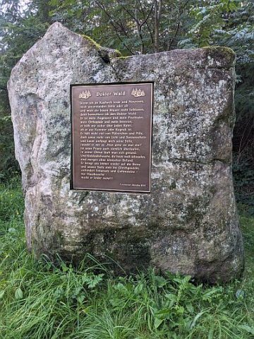
Findling mit Tafel - Doktor Wald
430 m
Charcoal Kilns