Fountains and Wells · 20th Century
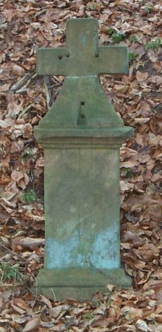
Kochrath-Brunnen - Quellfassung


Description
This description is only available in German.
Translate with Google opens this page in Google Translate (external service)
Inschrift:
Kochrath-Brunnen
1955 [1]
Classification
- Subject area
- Architectural and Art Monuments
- Category
- Fountains and Wells
- Date
- 1955
- Period
- 20th Century
Location
- District
- Trier-Saarburg
- Collective municipality
- Saarburg-Kell
- Town
- Saarburg
- Field name
- Kocherathsbrunnen
- Coordinates
- WGS 84: 49.614088, 6.520290 (Position: exact) WGS 84: 49° 36′ 50.7″ N, 6° 31′ 13.0″ E UTM 32 (ETRS89): E 320877 · N 5498678
Sources
Data sources
- [1] Werner Weber, Mannebach, 2022.
On the internet
Picture credits
Last edited: 7 Dec 2022 Object ID: 52121
https://kulturdb.de/en/objekt/52121-saarburg-kochrath-brunnen-quellfassung
Nearby
The nearest objects
No picture
130 m
Fountains and Wells
Kochrath-Brunnen - Pumpstation
No picture
160 m
Field Names
Kocherathsbrunnen
No picture
420 m
Field Names
Kocheratherwald
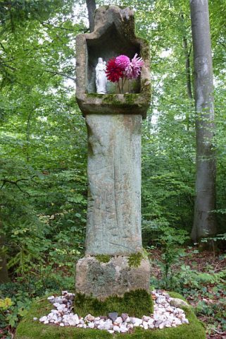 700 m
Wayside Shrines and Stations of the Cross
Steffeskreuz
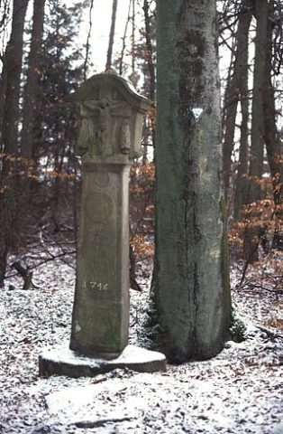 780 m
Beeches
Buche am Brautkreuz
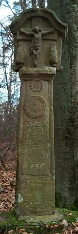 800 m
Wayside Shrines and Stations of the Cross
Brautkreuz mit Rotbuche
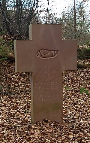 830 m
Wayside Shrines and Stations of the Cross
Neues Brautkreuz
 930 m
Wayside Shrines and Stations of the Cross