Mills · Celtic / Roman Period
Fleringermühle


Description
This description is only available in German.
Translate with Google opens this page in Google Translate (external service)
1851 wohnnten 6 Personen darin, 1885 neun. [1]
Classification
- Subject area
- Architectural and Art Monuments
- Object type
- Mills
- Date
- Etwa 1810
- Period
- Celtic / Roman Period
Location
- District
- Eifelkreis Bitburg-Prüm
- Collective municipality
- Prüm
- Municipality
- Fleringen
- Locality / location
- Fleringermühle
- Field name
- Bei der Fleringer Mühle
- Coordinates
- WGS 84: 50.197785, 6.481858 (Position: exact) WGS 84: 50° 11′ 52.0″ N, 6° 28′ 54.7″ E UTM 32 (ETRS89): E 320284 · N 5563657
Sources
Data sources
- [1] Mertes, Erich: Mühlen der Eifel. Band 1, Helios Verlags- und Buchgesellschaft, Aachen, 1995.
- [2] Kartenaufnahme der Rheinlande durch Tranchot und von Müffling (1803-1820) Blattnummer: 165, Jahrgang: etwa 1810, Blattname: Schönecken, Aufnahme: Capitaine Ing. Geograph 2. Klasse Roubo © GeoBasis-DE / LVermGeoRP 2016, dl-de/by-2-0, www.lvermgeo.rlp.de
On the internet
Picture credits
Last edited: 2 Jun 2020 Object ID: 7608
https://kulturdb.de/en/objekt/7608-fleringen-fleringermuehle
Nearby
The nearest objects
 330 m
Settlements
Römische Siedlungsstelle
No picture
440 m
Field Names
Burgenheld
No picture
580 m
Field Names
Auf der Acht
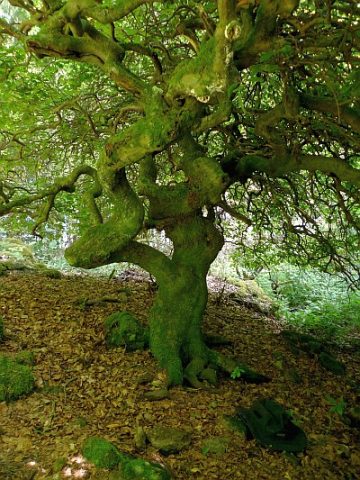 750 m
Execution Sites
Krausbuche als Gerichtsbuche
750 m
Beeches
Krausbuche
No picture
760 m
Field Names
Beim Kupferborn
No picture
830 m
Field Names
Beim Falkenborn
No picture
850 m
Field Names