Plein
234 heritage sites in Plein in the Kulturdatenbank Region Trier.
The map shows all 234 results.
-
Schuck
Field Names ID 48993
-
Schuck
Field Names ID 48994
-
Schunck
Field Names ID 48992
-
Schunkerachtseit
Field Names ID 48995
-
Schäferei
Field Names ID 49116
-
Seibertsgraben
Field Names ID 48943
-
Seibertsgraben
Field Names ID 48944
-
Seibertsgraben
Field Names ID 48945
-
Spalteck
Field Names ID 49033
-
Spann
Field Names ID 49028
-
Spann
Field Names ID 49029
-
Speiß
Field Names ID 49055
-
Speißbach
Field Names ID 49056
-
Speißberg
Field Names ID 49054
-
Staudt
Field Names ID 45676
-
Steckem
Field Names ID 49014
-
Tafentberg
Field Names ID 48996
-
Tauer
Field Names ID 48969
-
Terresenwiese
Field Names ID 48998
-
Terrespaisch
Field Names ID 49095
-
Theispaisch
Field Names ID 49087
-
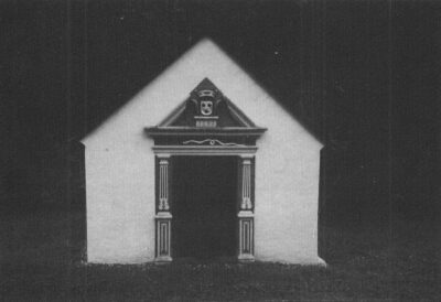
Unkensteinkapelle (1)
Religious Buildings Chapels ID 48852
-
Unkensteinkapelle (2)
Religious Buildings Chapels ID 4756
-
Untere Nogenwiese
Field Names ID 49108
-
Unterm Öfflinger Pädchen
Field Names ID 49124
-
Urbelspaisch
Field Names ID 49089
-
Uschelwiese
Field Names ID 49080
-
Vietnamwald
Field Names Forest Names ID 51220
-
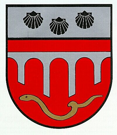
Wappen der Gemeinde Plein
Coats of Arms ID 7873
-
Wasen
Field Names ID 48974
-
Weinberg
Vineyard Sites ID 39637
-
Willemsrech
Field Names ID 29824
-
Winkel
Field Names ID 39859
-
Wohnhaus
Residential and Farm Buildings Farmhouses and Farm Buildings ID 35188
-
Wüstung Ankast
Settlements Deserted Settlements ID 417
-
Zanner
Field Names ID 49052
-
Zannergraben
Field Names ID 49050
-
Zannerloch
Field Names ID 49049
-
Öfflinger Pfädchesberg
Field Names ID 49111
-
Breitwies
Field Names ID 49019
-
Die Breit
Field Names ID 49020
-
Reiberg
Field Names ID 49018