Arzfeld
2,018 heritage sites in the collective municipality of Arzfeld in the Kulturdatenbank Region Trier.
The map shows all 2,018 results.
-
Steinkreuz hinter der Kirche
Religious Buildings Wayside Shrines and Stations of the Cross ID 14815
-
Unter dem Scheid
Field Names ID 28704
-
Wallenborn
Field Names ID 31725
-
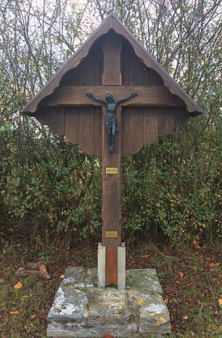
Wasenkreuz
Religious Buildings Wayside Shrines and Stations of the Cross ID 33841
-
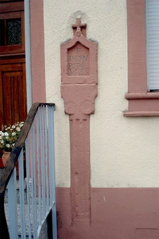
Wegekreuz
Religious Buildings Wayside Shrines and Stations of the Cross ID 33842
-
Wegekreuz
Religious Buildings Wayside Shrines and Stations of the Cross ID 33856
-
Weiler Laarberg
Settlements Deserted Settlements ID 45789
-
Westwall - Bunker
Baustärke B1 oder stärker
Fortifications and Military Sites Fortresses and Bunkers ID 21115
-
Westwall - Bunker
Baustärke B1 oder stärker
Fortifications and Military Sites Fortresses and Bunkers ID 21117
-
Westwall - Bunker ohne Kampfraum
Baustärke B1 oder stärker
Fortifications and Military Sites Fortresses and Bunkers ID 21101
-
Westwall - Bunker ohne Kampfraum
Baustärke B1 oder stärker
Fortifications and Military Sites Fortresses and Bunkers ID 21111
-
Westwall - Bunker ohne Kampfraum
Baustärke B1 oder stärker
Fortifications and Military Sites Fortresses and Bunkers ID 21113
-
Westwall - Bunker ohne Kampfraum
Baustärke B1 oder stärker
Fortifications and Military Sites Fortresses and Bunkers ID 21119
-
Westwall - Bunker ohne Kampfraum
Baustärke B1 oder stärker
Fortifications and Military Sites Fortresses and Bunkers ID 21120
-
Westwall - Bunker ohne Kampfraum
Baustärke B1 oder stärker
Fortifications and Military Sites Fortresses and Bunkers ID 21121
-
Westwall - Bunker ohne Kampfraum
Baustärke B1 oder stärker
Fortifications and Military Sites Fortresses and Bunkers ID 21122
-
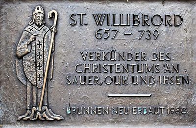
Willibrord-Brunnen
Fountains and Wells Works of Art ID 41466
-
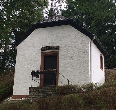
Willibrorduskapelle
Religious Buildings Chapels ID 465
-
Winkelseifen
Field Names ID 39866
-
Winkelseifen
Field Names ID 39869
-
Wolfslaar
Field Names ID 36863
-
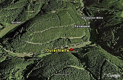
Ourschleife
Natural Landscapes ID 661
-
Schlangenkreuz in Falkenauel
Votivkreuz
Religious Buildings Wayside Shrines and Stations of the Cross ID 14812
-
Wegekreuz
Religious Buildings Wayside Shrines and Stations of the Cross ID 33839
-
Römische Trümmerstätte
Settlements Settlements ID 12841
-
Wegekreuz
Religious Buildings Wayside Shrines and Stations of the Cross ID 33857
-
Gippendell
Field Names ID 44959
-
Ehemaliger Weiler Kuhkirchhof
Settlements Deserted Settlements ID 45786
-
Kuhkirchhof
Field Names ID 52933
-
Wegesdell
Field Names ID 45722
-
Aussichtspunkt am Hüberg
Viewpoints ID 4343
-
Weilersdell
Field Names ID 45726
-
Westwall - Bunker
Baustärke B1 oder stärker
Fortifications and Military Sites Fortresses and Bunkers ID 21116
-
Auf der Kehr
Field Names ID 38100
-
Auf der Oberdell
Field Names ID 44798
-
Auf der Oberdell
Field Names ID 44799
-
Aussichtspunkt Hohe Kuppe
Viewpoints ID 1479
-
Beim Fröschborn
Field Names ID 31721
-
Beim Kehr
Field Names ID 38102
-
Ehemalige Furt durch die Our
Economy, Trade and Transport Fords ID 44125
-
Ehemalige Furt durch die Our
Economy, Trade and Transport Fords ID 49575
-
Ehemalige Furt durch die Our
Economy, Trade and Transport Fords ID 49576
-
Ehemaliger Meilenzeiger
Markers and Monuments Surveying ID 52954
-
Ehemaliger Meilenzeiger
Markers and Monuments Surveying ID 52956
-
Fundstellen tierischer Versteinerungen
Geological Features Fossils ID 50895
-
Fundstellen tierischer Versteinerungen
Geological Features Fossils ID 51094
-
Haus Böwerei
Settlements Deserted Settlements ID 12554