Bernkastel-Kues
2,773 heritage sites in the collective municipality of Bernkastel-Kues in the Kulturdatenbank Region Trier.
The map shows all 2,773 results.
-
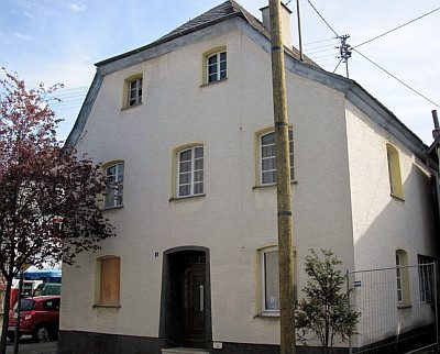
Wohnhaus
Residential and Farm Buildings Town Houses and Commercial Buildings ID 16050
-
Wohnhaus
Residential and Farm Buildings Town Houses and Commercial Buildings ID 16051
-
Wohnhaus
Residential and Farm Buildings Town Houses and Commercial Buildings ID 16052
-
Wohnhaus
Residential and Farm Buildings Town Houses and Commercial Buildings ID 16053
-
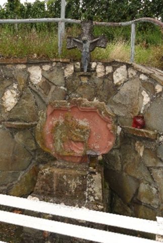
Rosenkreuzchen
Religious Buildings Wayside Shrines and Stations of the Cross ID 20639
-
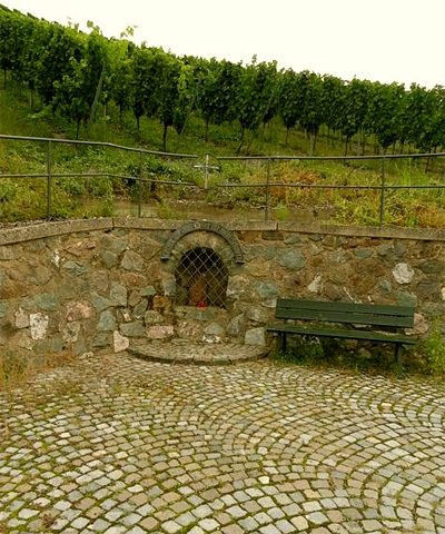
Rosenkreuzchen
Religious Buildings Wayside Shrines and Stations of the Cross ID 53638
-
Oben im Rothen Heidchen
Field Names ID 43180
-
Kapelle auf dem Nuhkopf
Religious Buildings Chapels ID 15920
-
Ehemalige Papiermühle im Dhrontal
Engineering Structures and Industrial Sites Mills ID 16336
-
Ehemalige Schule
Educational Institutions Schools ID 14876
-
Filialkapelle zum heiligen Konrad von Parzham
Religious Buildings Chapels ID 25071
-
In der Streitheld
Field Names ID 39982
-
Neu Mühle
Engineering Structures and Industrial Sites Mills ID 35572
-
Wegekapelle
Religious Buildings Chapels ID 14875
-
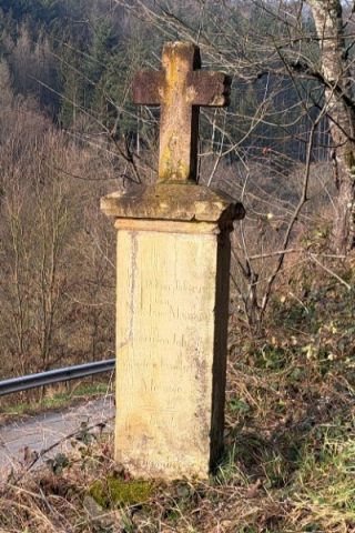
Wegekreuz
Religious Buildings Wayside Shrines and Stations of the Cross ID 32639
-
Wegekreuz
Religious Buildings Wayside Shrines and Stations of the Cross ID 25698
-
Unterste Mühle im Dhrohntal
Engineering Structures and Industrial Sites Mills ID 7805
-
Ehemalige Kahnfähre
Economy, Trade and Transport Ferries ID 19493
-
Ehemaliges Wirtschaftsgebäude
Residential and Farm Buildings Farmhouses and Farm Buildings ID 14983
-
Kapelle Sankt Mariae
Religious Buildings Chapels ID 3070
-
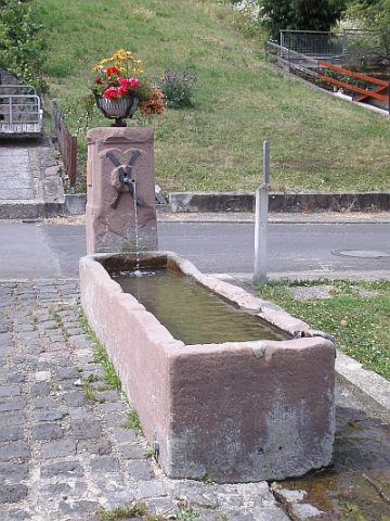
Laufbrunnen Ferreser Boor
Fountains and Wells ID 3071
-
Römische Siedlung
Settlements Settlements ID 1091
-
Römische Siedlungsstelle
Settlements Settlements ID 11795
-
Wegekreuz
Religious Buildings Wayside Shrines and Stations of the Cross ID 32913
-
Wohnhaus
Residential and Farm Buildings Farmhouses and Farm Buildings ID 14984
-
Wohnhaus
Residential and Farm Buildings Farmhouses and Farm Buildings ID 14985
-
Kreuzweg zur Spoarkapelle - Station XI
Religious Buildings Wayside Shrines and Stations of the Cross ID 33705
-
Jagdschloss Tonnkopf
Residential and Farm Buildings Manorial Residences and Estate Buildings ID 15174
-
Römergrab Am Tonnkopf (1)
Burials Burial Mounds ID 2701
-
Römergrab Am Tonnkopf (2)
Burials Burial Mounds ID 14850
-
Ehemalige Kahnfähre
Economy, Trade and Transport Ferries ID 19494
-
Ehemalige Synagoge
Religious Buildings Synagogues ID 2917
-
Jüdische Geschichte Müstert
Place Names / Local History Jewish History ID 25256
-
Katholische Allerheiligenkapelle
Religious Buildings Chapels ID 1090
-
Wohnhäuser am Karthäuserplatz
Residential and Farm Buildings Town Houses and Commercial Buildings ID 1089
-
Bei der Ginsterslai
Field Names ID 46454
-
Auf Geilenborn
Field Names ID 31296
-
Auf der Kehr
Field Names ID 38048
-
Aufm Sauerborn
Field Names ID 31343
-
Aufm Schafhausroth
Field Names ID 43419
-
Aussichtspunkt
Viewpoints ID 38938
-
Aussichtspunkt Hostert
Viewpoints ID 4192
-
Aussichtspunkt Rotlay
Viewpoints ID 35991
-
Außenwände des ehemaligen Quereinhauses
Residential and Farm Buildings Farmhouses and Farm Buildings ID 35027
-
Bei der Lehmkaul
Field Names ID 35898
-
Beim Feifelborn
Field Names ID 31371
-
Beim Frönserborn
Field Names ID 31336
-
Beim Michelspütz
Field Names ID 39530