Bitburger Land
3,990 heritage sites in the collective municipality of Bitburger Land in the Kulturdatenbank Region Trier.
The map shows all 3,990 results.
-
Wilsecker Tunnel - Nordportal
Engineering Structures and Industrial Sites Railways ID 45822
-
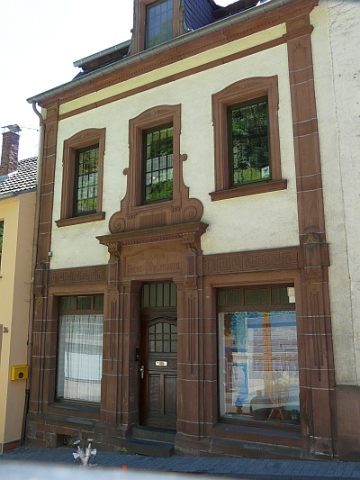
Wohn- und Geschäftshaus
Residential and Farm Buildings Town Houses and Commercial Buildings ID 8242
-
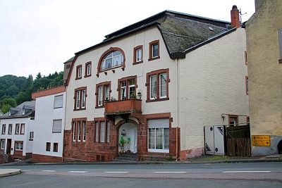
Wohn- und Geschäftshaus
Residential and Farm Buildings Town Houses and Commercial Buildings ID 11230
-
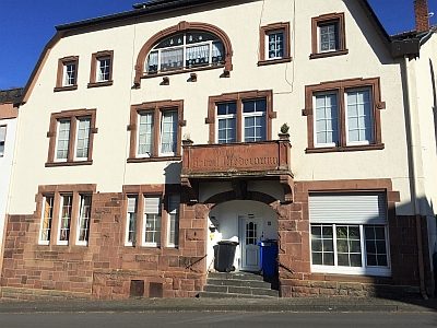
Wohn- und Geschäftshaus
Residential and Farm Buildings Town Houses and Commercial Buildings ID 13371
-
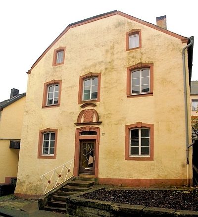
Wohn- und Geschäftshaus
Residential and Farm Buildings Town Houses and Commercial Buildings ID 13373
-
Wohn- und Geschäftshaus
Residential and Farm Buildings Town Houses and Commercial Buildings ID 13380
-
Wohn- und Geschäftshaus
Residential and Farm Buildings Town Houses and Commercial Buildings ID 13381
-
Wohnhaus
Residential and Farm Buildings Town Houses and Commercial Buildings ID 8232
-
Wohnhaus
Residential and Farm Buildings Town Houses and Commercial Buildings ID 8233
-
Wohnhaus
Residential and Farm Buildings Town Houses and Commercial Buildings ID 8234
-
Wohnhaus
Residential and Farm Buildings Town Houses and Commercial Buildings ID 8238
-
Wohnhaus
Residential and Farm Buildings Town Houses and Commercial Buildings ID 8239
-
Wohnhaus
Residential and Farm Buildings Town Houses and Commercial Buildings ID 8256
-
Wohnhaus
Residential and Farm Buildings Town Houses and Commercial Buildings ID 13340
-
Wohnhaus
Residential and Farm Buildings Town Houses and Commercial Buildings ID 13341
-
Wohnhaus
Residential and Farm Buildings Town Houses and Commercial Buildings ID 13342
-
Wohnhaus
Residential and Farm Buildings Town Houses and Commercial Buildings ID 13370
-
Wohnhaus
Residential and Farm Buildings Town Houses and Commercial Buildings ID 13374
-
Wohnhaus
Residential and Farm Buildings Town Houses and Commercial Buildings ID 13390
-
Wohnhäuser
Residential and Farm Buildings Town Houses and Commercial Buildings ID 8235
-
Auf Wolfszahl
Field Names ID 36865
-
Auf Wolfszahl
Field Names ID 36866
-
Auf dem Schlagrechen
Field Names ID 29838
-
Auf dem obersten Kungelspesch
Field Names ID 27264
-
Backhaus
Residential and Farm Buildings Farmhouses and Farm Buildings ID 9819
-
Backhaus
Residential and Farm Buildings Farmhouses and Farm Buildings ID 57521
-
Bei der Kirchwies
Field Names ID 46114
-
Bei der Steinkaul
Field Names ID 27705
-
Beim Kappesgarten
Field Names ID 41698
-
Drengenpesch
Field Names ID 27265
-
Ehemaliger Hof Reiferscheid
Settlements Deserted Settlements ID 13427
-
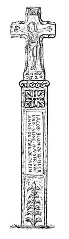
Ehemaliges Weiler Kreuz
Religious Buildings Wayside Shrines and Stations of the Cross ID 9098
-
Erste Erwähnung als Wilre
Place Names / Local History ID 3340
-
Fleschenpesch
Field Names ID 27266
-
Fundstellen für tierische Versteinerungen
Geological Features Fossils ID 51163
-
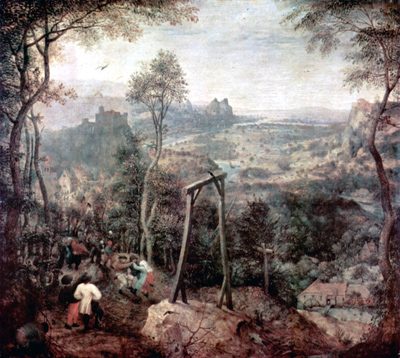
Galgen bei Hof Reiferscheid
Legal Monuments Execution Sites ID 13428
-
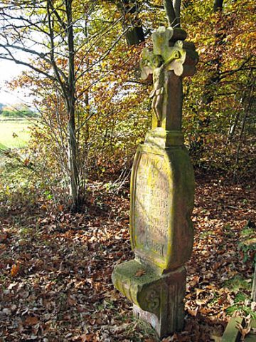
Gedenkkreuz von 1743
Nordwestlich des Ortes, an einer Waldecke
Religious Buildings Wayside Shrines and Stations of the Cross ID 9820
-
Grabenpesch
Field Names ID 27267
-
Hinterm Grabenpesch
Field Names ID 27268
-
Hofanlage
Residential and Farm Buildings Farmhouses and Farm Buildings ID 10581
-
In der Dörrwies
Field Names ID 37295
-
In der Petersdell
Field Names ID 45336
-
In der Steffensdell
Field Names ID 45374
-
In der Steffensdell
Field Names ID 45375
-
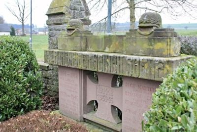
Kriegerdenkmal
Markers and Monuments War Memorials ID 49130
-
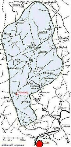
Langmauer
Fortifications and Military Sites Roman Long Wall ID 9119
-
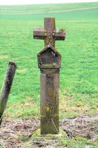
Nischenkreuz
Religious Buildings Wayside Shrines and Stations of the Cross ID 10652