Konz
1,710 heritage sites in the collective municipality of Konz in the Kulturdatenbank Region Trier.
The map shows all 1,710 results.
-
Ehemalige Schanze
Fortifications and Military Sites Entrenchments ID 52958
-
Ehemaliger Kalkofen
Economy, Trade and Transport Lime Kilns ID 19925
-
Ehemaliger Steinbruch
Economy, Trade and Transport Extraction and Processing of Raw Materials ID 19426
-
Ehemaliger Steinbruch
Economy, Trade and Transport Extraction and Processing of Raw Materials ID 19427
-
Ehemaliger Steinbruch
Economy, Trade and Transport Extraction and Processing of Raw Materials ID 19428
-
Ehemaliger Steinbruch
Economy, Trade and Transport Extraction and Processing of Raw Materials ID 35147
-
Ehemaliger Steinbruch
Economy, Trade and Transport Extraction and Processing of Raw Materials ID 47202
-
Hundsbüsch
Field Names ID 44441
-
Im Kalkesberg
Field Names ID 36263
-
Im Wingertsberg
Vineyard Sites ID 39155
-
Im Wittum
Field Names ID 29111
-
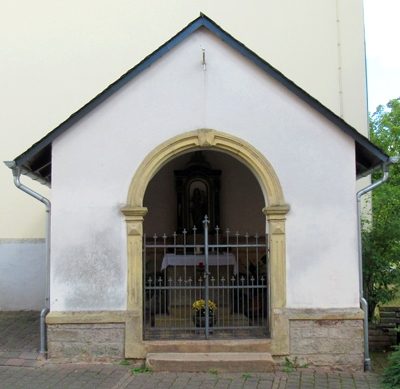
Kapelle
Religious Buildings Chapels ID 50012
-
Klasbungert
Field Names ID 28095
-
Kriegerdenkmal
Markers and Monuments War Memorials ID 50014
-
Margarethenkapelle
Religious Buildings Chapels ID 1062
-
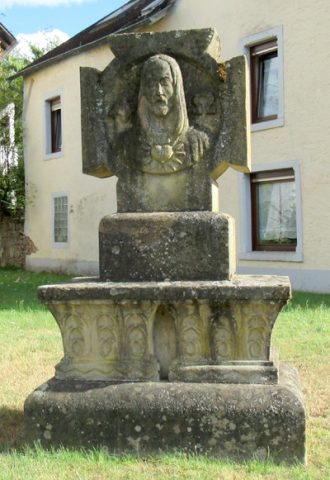
Mater-Dolorosa-Kreuz
Religious Buildings Wayside Shrines and Stations of the Cross ID 30566
-
Naumborn
Field Names ID 30809
-
Ortsgeschichte Tawern
Place Names / Local History ID 1391
-
Rothreiser
Field Names ID 43312
-
Römerstraße am Metzenberg
Economy, Trade and Transport Road Transport ID 4845
-
Römische Straßensiedlung (Vicus)
Settlements Settlements ID 1272
-
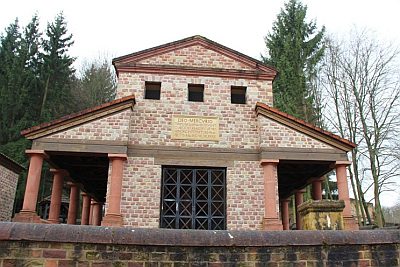
Römischer Tempelbezirk auf dem Metzenberg (1)
Religious Buildings Temples, Sanctuaries ID 1064
-
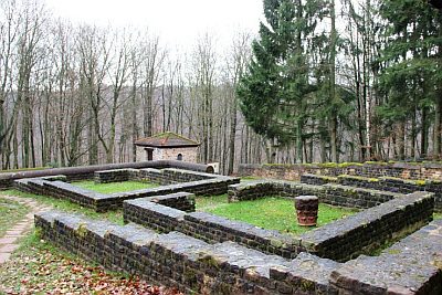
Römischer Tempelbezirk auf dem Metzenberg (2)
Religious Buildings Temples, Sanctuaries ID 16286
-
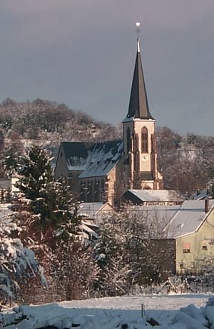
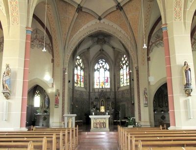
Sankt Peter und Paul - Innenausstattung
Neue katholische Pfarrkirche
Religious Buildings Catholic Churches ID 50013
-
Sauerwiesen
Field Names ID 34452
-
Schafsmorgen
Field Names ID 29197
-
Spanische Ecke
Economy, Trade and Transport Road Transport ID 52366
-
Unter der Scheuskirch
Field Names ID 46388
-
Unterm Kalkesberg
Field Names ID 36262
-
Unterm Rölerborn
Field Names ID 30824
-
Vorm Wingertsberg
Vineyard Sites ID 39160
-
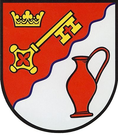
Wappen der Gemeinde Tawern
Coats of Arms ID 50523
-
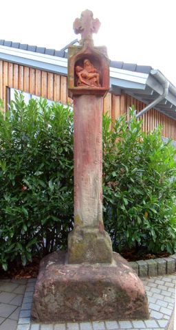
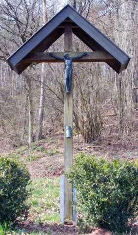
Wegekreuz
Religious Buildings Wayside Shrines and Stations of the Cross ID 30565
-
Wegekreuz
Religious Buildings Wayside Shrines and Stations of the Cross ID 30567
-
Zwischen den Brüchern
Field Names ID 52090
-
Auf der Olk
Field Names ID 39687
-
Auf der Olk
Field Names ID 39689
-
Im Süßfeld
Field Names ID 48281
-
In der Olk
Field Names ID 39688
-
Unterste Mausmühle am Mausbach
Engineering Structures and Industrial Sites Mills ID 7802
-
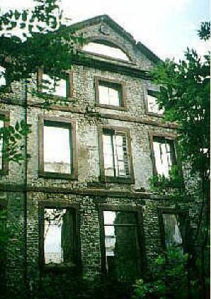
Georgshof
Residential and Farm Buildings Manorial Residences and Estate Buildings ID 1067
-
Auf den Wingerten
Vineyard Sites ID 39176
-
Aussichtspunkt Faulenberg
Viewpoints ID 33262
-
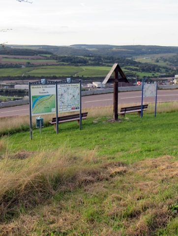
Aussichtspunkt am Holzkreuz
Viewpoints ID 35971
-
Beim Raubertsborn
Field Names ID 30890
-
Beim Steinborn
Field Names ID 30855
-
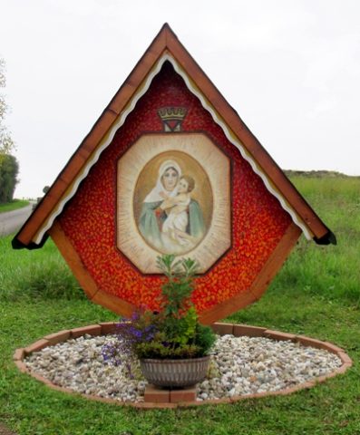
Bildstock am Anfang des Kreuzweges
Kreuzweg Temmels
Religious Buildings Wayside Shrines and Stations of the Cross ID 50034