Südeifel
3,253 heritage sites in the collective municipality of Südeifel in the Kulturdatenbank Region Trier.
The map shows all 3,253 results.
-
Im nassen Feld
Field Names ID 36056
-
In den nassen Feldern
Field Names ID 36055
-
In der Acht
Field Names ID 35347
-
In der Hostertwies
Field Names ID 27906
-
In der Hostertwies
Field Names ID 27953
-
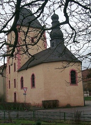
Kapelle
Religious Buildings Chapels ID 7347
-
Kapelle
Religious Buildings Chapels ID 52522
-
Landhaus
Residential and Farm Buildings Farmhouses and Farm Buildings ID 11576
-
Mittelalterlicher Wohnturm
Residential and Farm Buildings Medieval Tower Houses ID 53204
-
Mühle Petry
Engineering Structures and Industrial Sites Mills ID 16339
-
Mühle am Hofgut Petry
Engineering Structures and Industrial Sites Mills ID 16340
-
Römische Ansiedlung
Settlements Settlements ID 11970
-
Römische Siedlungsstelle
Settlements Settlements ID 11967
-
Römische Siedlungsstelle
Settlements Settlements ID 11969
-
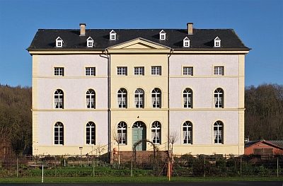
Schlossgut Petry (1)
Residential and Farm Buildings Manorial Residences and Estate Buildings ID 7191
-
Schlossgut Petry (2)
Residential and Farm Buildings Manorial Residences and Estate Buildings ID 11582
-
Vermutete römische Siedlung
Settlements Settlements ID 12925
-
Westwall - Bunker
Baustärke B1 oder stärker
Fortifications and Military Sites Fortresses and Bunkers ID 21176
-
Westwall - Bunker
Baustärke B1 oder stärker
Fortifications and Military Sites Fortresses and Bunkers ID 21191
-
Westwall - Bunker
Baustärke B1 oder stärker
Fortifications and Military Sites Fortresses and Bunkers ID 21842
-
Westwall - Bunker
Baustärke B1 oder stärker
Fortifications and Military Sites Fortresses and Bunkers ID 21845
-
Westwall - Bunker ohne Kampfraum
Baustärke B1 oder stärker
Fortifications and Military Sites Fortresses and Bunkers ID 21181
-
Westwall - Bunker ohne Kampfraum
Baustärke B1 oder stärker
Fortifications and Military Sites Fortresses and Bunkers ID 21189
-
Westwall - Doppelschartenstand
Fortifications and Military Sites Fortresses and Bunkers ID 21843
-
Westwall - Regiments-Befehlsstelle
Schartenstand
Fortifications and Military Sites Fortresses and Bunkers ID 21846
-
Westwall - Regiments-Befehlsstelle
Baustärke B1 oder stärker
Fortifications and Military Sites Fortresses and Bunkers ID 21851
-
Westwall - Schartenstand
Fortifications and Military Sites Fortresses and Bunkers ID 21190
-
Westwall - Schartenstand
Fortifications and Military Sites Fortresses and Bunkers ID 21844
-
Wohnhaus
Residential and Farm Buildings Town Houses and Commercial Buildings ID 7214
-
Wohnhaus
Residential and Farm Buildings Town Houses and Commercial Buildings ID 11579
-
An der Lahrerdell
Field Names ID 44713
-
Auf Rittersdell
Field Names ID 44847
-
Auf dem obersten Kimmel
Field Names ID 33216
-
Aufm Kimmel
Field Names ID 33232
-
Aussichtspunkt Kruscheid
Viewpoints ID 7215
-
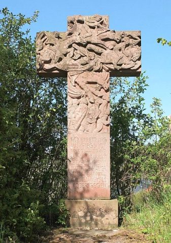
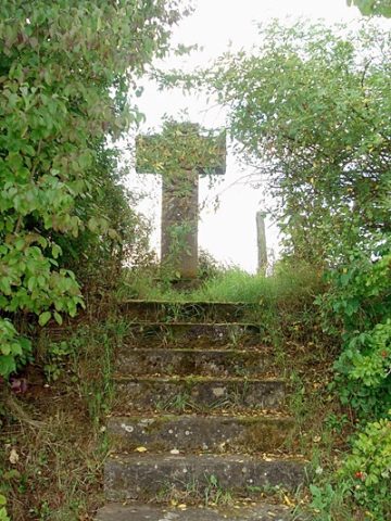
Dankeskreuz (1)
Religious Buildings Wayside Shrines and Stations of the Cross ID 32813
-
Dankeskreuz (2)
Das neue Obersgegener Kriegskreuz
Religious Buildings Wayside Shrines and Stations of the Cross ID 52712
-
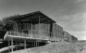
Ehemaliger Gaytalpark - Naturschutzzentrum
Projekt der Expo 2000
Educational Institutions Exhibitions, Cultural Centres and Memorial Sites ID 7175
-
Erste Erwähnung von Obersgegen
Place Names / Local History ID 7277
-
Furt durch den Gaybach
Economy, Trade and Transport Fords ID 49906
-
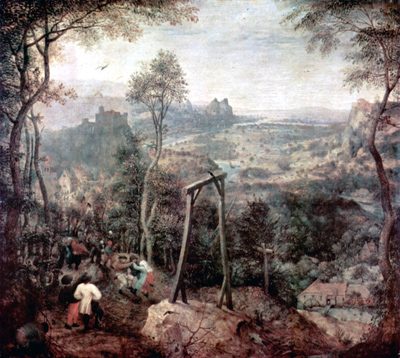
Gewann Am Galgenberg
Legal Monuments Execution Sites ID 25761
-
Im Eisenspan
Field Names ID 36539
-
Im Pfaffenseif
Field Names ID 29030
-
Im Weinpesch
Field Names ID 27257
-
In Eckersdell
Field Names ID 45433
-
In Godendell
Field Names ID 45448