Thalfang am Erbeskopf
1,120 heritage sites in the collective municipality of Thalfang am Erbeskopf in the Kulturdatenbank Region Trier.
The map shows all 1,120 results.
-
Wegekreuz
Religious Buildings Wayside Shrines and Stations of the Cross ID 33029
-
Wegekreuz
Religious Buildings Wayside Shrines and Stations of the Cross ID 33030
-
Wegekreuz
Religious Buildings Wayside Shrines and Stations of the Cross ID 33031
-
Wegekreuz
Religious Buildings Wayside Shrines and Stations of the Cross ID 33032
-
Wegekreuz
Religious Buildings Wayside Shrines and Stations of the Cross ID 33397
-
Am Geizrech
Field Names ID 29669
-
Auf Hälzerntriesch
Field Names ID 29374
-
Auf Muselrech
Field Names ID 29673
-
Auf dem Kirchenknopf
Field Names ID 46072
-
Auf dem Neuborn
Field Names ID 31054
-
Beim Neuborn
Field Names ID 31057
-
Die Mark Thalfang
Place Names / Local History ID 3557
-
Fundstellen tierischer Versteinerungen
Geological Features Fossils ID 50994
-
Im Bornhell
Field Names ID 31089
-
Im Geizrech
Field Names ID 29670
-
In Bornhell
Field Names ID 31096
-
In Görgentriesch
Field Names ID 29375
-
In den Schweinsbornfeldern
Field Names ID 31070
-
In den Wolfsfeldern
Field Names ID 36767
-
In der Kirchenbitz
Field Names ID 46217
-
Neuborn
Field Names ID 31062
-
Sauerborn
Field Names ID 31085
-
Sauerbornflur
Field Names ID 31078
-
Unten auf dem Sauerbornflur
Field Names ID 31084
-
Unterm Neuborn
Field Names ID 31060
-
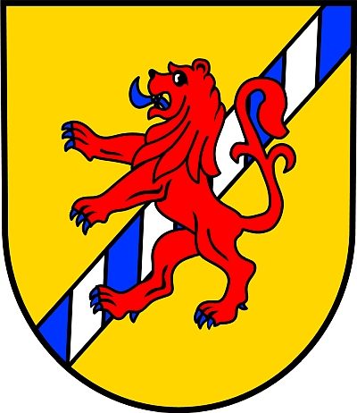
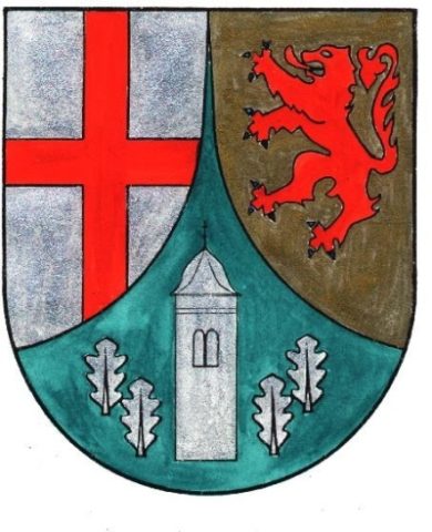
Wappen der Gemeinde Immert
Place Names / Local History ID 51954
-
Käsmühle im Schalesbachtal
Engineering Structures and Industrial Sites Mills ID 7575
-
Aufm Atschborn
Field Names ID 31026
-
Aufm Höhrech
Field Names ID 29647
-
Beim Kettenborn
Field Names ID 31024
-
Die Mark Thalfang
Place Names / Local History ID 3560
-
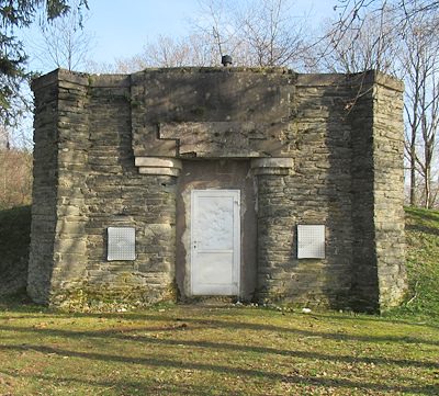
Ehemalige Bunker und Flakbatterie
Luftverteidigungszone (LVZ) West
Fortifications and Military Sites Fortresses and Bunkers ID 51727
-
Ehemaliger Steinbruch
Economy, Trade and Transport Extraction and Processing of Raw Materials ID 41945
-
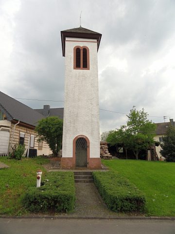
Glockenturm
Religious Buildings Bell Towers ID 15506
-
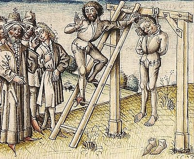
Henkersgalgen
Legal Monuments Execution Sites ID 55139
-
Im Bungert
Field Names ID 28272
-
Im Winkel
Field Names ID 39791
-
Im Winkel
Field Names ID 39792
-
In den Winkelrüssen
Field Names ID 39790
-
Kellertriesch
Field Names ID 29367
-
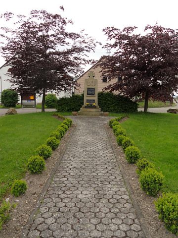
Kriegerdenkmal
Markers and Monuments War Memorials ID 35280
-
Unterm Atschborn
Field Names ID 31029
-
Wappen der Gemeinde Lückenburg
Coats of Arms ID 3547
-
Bousermühle am Röderbach
Engineering Structures and Industrial Sites Mills ID 7540
-
Kandelaberulme beim Forstamt
Trees Elms ID 2612