Undated
20,429 heritage sites from the period Undated: Undated.
The map shows all 20,429 results.
-
In der Acht
Field Names ID 35333
-
In der Dell
Field Names ID 45169
-
Lavagrube am Alter Voß
Economy, Trade and Transport Extraction and Processing of Raw Materials ID 17739
-
Mineralquelle
Springs Mineral Springs ID 41065
-
Mühlsteinbruch Schlackenring Auf Winkel
Economy, Trade and Transport Extraction and Processing of Raw Materials ID 24160
-
Mühlsteinbruch am Feuerberg
Economy, Trade and Transport Extraction and Processing of Raw Materials ID 24161
-
Mühlsteinbruch am Lavastrom vom Sassenberg
Economy, Trade and Transport Extraction and Processing of Raw Materials ID 24163
-
Mühlsteinbruch im Wald nördlich des Dorfes
Economy, Trade and Transport Extraction and Processing of Raw Materials ID 24162
-
Ober Hostert
Field Names ID 27963
-
Oberste Held
Field Names ID 40310
-
Unten im Krummenstück
Field Names ID 42507
-
Unter der Held
Field Names ID 40308
-
Vulkan Auf Winkel
Geological Features Volcanoes ID 30179
-
Vulkan Bungerberg
Geological Features Volcanoes ID 30180
-
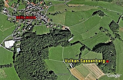
Vulkan Sassenberg
Geological Features Volcanoes ID 6643
-
Wegekreuz
Religious Buildings Wayside Shrines and Stations of the Cross ID 27881
-
Wegekreuz
Religious Buildings Wayside Shrines and Stations of the Cross ID 27882
-
Wegekreuz
Religious Buildings Wayside Shrines and Stations of the Cross ID 27883
-
Wegekreuz
Religious Buildings Wayside Shrines and Stations of the Cross ID 27884
-
Am Blatterpütz
Field Names ID 39570
-
Am Pfaffenbäulchen
Field Names ID 29080
-
Auf Hahnenrech
Field Names ID 30004
-
Auf Krummacker
Field Names ID 42522
-
Auf Käulchespesch
Field Names ID 27001
-
Auf Rothenseifen
Field Names ID 43308
-
Auf dem großen Scheid
Field Names ID 28586
-
Auf dem krummen Stück
Field Names ID 42408
-
Auf der Rothenerde
Field Names ID 43228
-
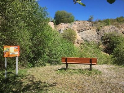
Aussichtspunkt am Knüppisch
Viewpoints ID 4208
-
Bauernhaus
Residential and Farm Buildings Farmhouses and Farm Buildings ID 16431
-
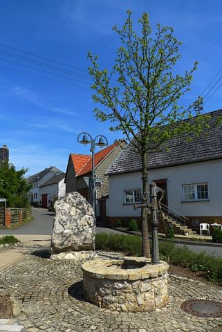
Dorfbrunnen Am Narrepötz
Fountains and Wells ID 4044
-
Erdkeller am Backes Eck
Economy, Trade and Transport Catering, Inns and Hotels ID 4040
-
Gegen der Sandkaul
Field Names ID 40742
-
In den vier Morgen
Field Names ID 29271
-
Kapelle
Religious Buildings Chapels ID 30117
-
Kreuz an den 4 Linden
Religious Buildings Wayside Shrines and Stations of the Cross ID 4058
-
Kreuz an der Walsdorfer Straße
Religious Buildings Wayside Shrines and Stations of the Cross ID 4057
-
Kreuz auf dem Kirchberg
Religious Buildings Wayside Shrines and Stations of the Cross ID 4054
-
Kreuz bei der Waldkapelle
Religious Buildings Wayside Shrines and Stations of the Cross ID 23162
-
Kreuz vor der Pfarrkirche
Religious Buildings Wayside Shrines and Stations of the Cross ID 18537
-
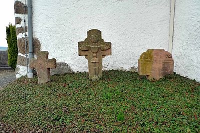
Kreuze an der Wehrkirche
Ehemalige katholische Pfarrkirche Sankt Peter
Religious Buildings Wayside Shrines and Stations of the Cross ID 16875
-
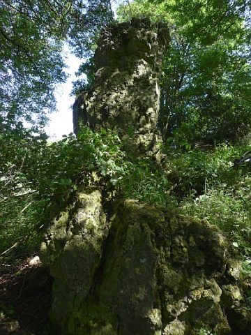
Langen Stein am Hillesheimer Weg
Rocks ID 23163
-
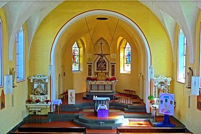
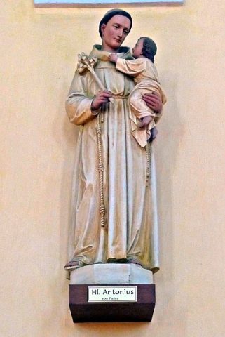
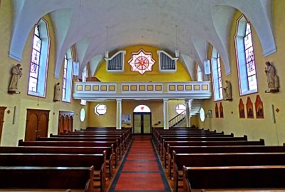
Sankt Peter - Heiligenfiguren
Katholische Pfarrkirche
Religious Buildings Catholic Churches ID 18639
-
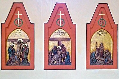
Sankt Peter - Kreuzweg
Katholische Pfarrkirche
Religious Buildings Wayside Shrines and Stations of the Cross ID 18638
-
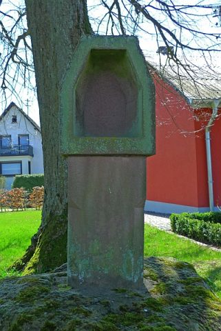
Stationskreuz
Religious Buildings Wayside Shrines and Stations of the Cross ID 16690
-
Steinbruch Rauhheck
Aufschlusspunkt 22 des GEO-PFAD
Economy, Trade and Transport Extraction and Processing of Raw Materials ID 6769