Field Names · Undated
In der Dell


© GeoBasis-DE / LVermGeoRP, dl-de/by-2-0
There is no picture of this object yet. Do you have a photo that you would like to make available to the Kulturdatenbank? Submit a picture
Description
This description is only available in German.
Translate with Google opens this page in Google Translate (external service)
Delle – Flache, kleine Bodensenkung im Gelände, Talmulde, Schlucht, Hohlweg, besonders kleine Mulde in Acker und Wiese, oft etwas sumpfig, aber ohne fließendes Wasser. [1]
Classification
- Subject area
- History
- Category
- Field Names
- Date
- Undatiert
- Period
- Undated
Location
- District
- Vulkaneifel
- Collective municipality
- Gerolstein
- Municipality
- Berlingen
- Field name
- In der Dell
- Coordinates
- WGS 84: 50.245902, 6.715060 (Position: exact) WGS 84: 50° 14′ 45.2″ N, 6° 42′ 54.2″ E UTM 32 (ETRS89): E 337090 · N 5568470
Sources
Data sources
- [1] Heinrich Dittmaier: Rheinische Flurnamen. Ludwig Röhrscheid Verlag, Bonn, 1963.
On the internet
Last edited: 1 Nov 2017 Object ID: 45169
https://kulturdb.de/en/objekt/45169-berlingen-in-der-dell
Nearby
The nearest objects
Extraction and Processing of Raw Materials
Mühlsteinbruch Feldflur südwestlich Alter Voß
Wayside Shrines and Stations of the Cross
Wegekreuz
 420 m
Beeches
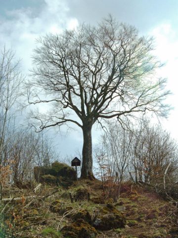
Befreiungsbuche bei Berlingen
Extraction and Processing of Raw Materials
Mühlsteinbruch am Alter Voß
Field Names
In der Ofenkaul
Field Names
Im halben Morgen
Field Names
Im Haringsrech
Wayside Shrines and Stations of the Cross