Extraction and Processing of Raw Materials · Undated
Mühlsteinbruch Feldflur südwestlich Alter Voß


© GeoBasis-DE / LVermGeoRP, dl-de/by-2-0
There is no picture of this object yet. Do you have a photo that you would like to make available to the Kulturdatenbank? Submit a picture
Description
This description is only available in German.
Translate with Google opens this page in Google Translate (external service)
Fundort: 69. Gestein: Olivin-Leuzitit-Nephelinit. [1]
Classification
- Subject area
- Architectural and Art Monuments
- Category
- Economy, Trade and Transport
- Object type
- Extraction and Processing of Raw Materials
- Date
- Undatiert
- Period
- Undated
Location
- District
- Vulkaneifel
- Collective municipality
- Gerolstein
- Municipality
- Hohenfels-Essingen
- Locality / location
- Hohenfels
- Field name
- Rundeheck
- Coordinates
- WGS 84: 50.246735, 6.718614 (Position: exact) WGS 84: 50° 14′ 48.2″ N, 6° 43′ 07.0″ E UTM 32 (ETRS89): E 337346 · N 5568555
Sources
Data sources
- [1] Fridolin Hörter: Getreidereiben und Mühlsteine aus der Eifel. Ein Beitrag zur Steinbruch- und Mühlengeschichte. Geschichts- und Altertumsverein für Mayen und Umgebung, 1994. ISBN:3-930821-12-5 http://www.gavmayen.de/gav-der-verein.html
On the internet
Last edited: 28 Mar 2012 Object ID: 24183
https://kulturdb.de/en/objekt/24183-hohenfels-essingen-muehlsteinbruch-feldflur-suedwestlich-alter-voss
Nearby
The nearest objects
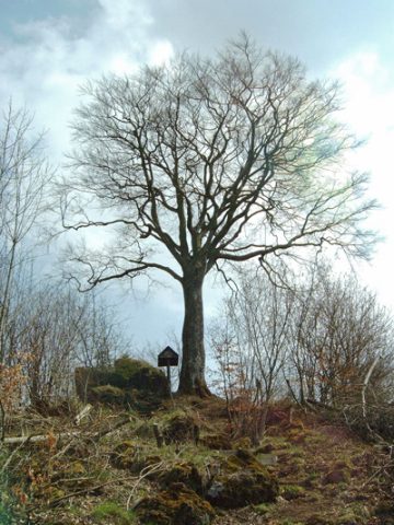 200 m
Beeches
Befreiungsbuche bei Berlingen
Extraction and Processing of Raw Materials
Mühlsteinbruch am Alter Voß
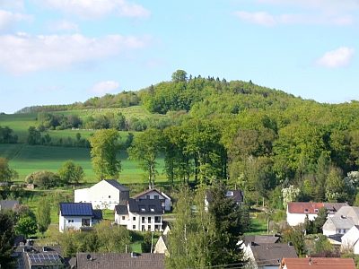 230 m
Volcanoes
Gipfel Alter Voß mit Befreiungsbuche bei Berlingen
Field Names
In der Dell
Extraction and Processing of Raw Materials
Mühlsteinbruch am Bickenberg
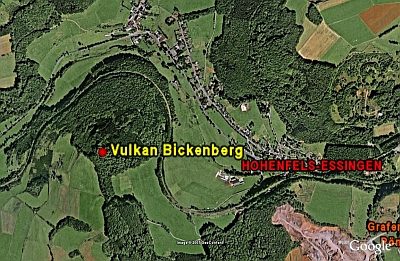 430 m
Volcanoes
Vulkan Bickenberg
Field Names
Unter Wolfsheck
Wayside Shrines and Stations of the Cross