Vulkaneifel
7,758 heritage sites in Vulkaneifel in the Kulturdatenbank Region Trier.
The map shows all 7,758 results.
-
Am Kirchenberg
Field Names ID 46053
-
Am Rodenberg
Field Names ID 43094
-
Auf der Erbesdelle
Field Names ID 44778
-
Ehemalige Apollinaris-Kapelle
Religious Buildings Chapels ID 11346
-
Ehemalige Franzermühle am Arbach
Engineering Structures and Industrial Sites Mills ID 22950
-
Fachwerkhaus
Residential and Farm Buildings Farmhouses and Farm Buildings ID 34125
-
Hasenbusch
Field Names Forest Names ID 49290
-
Im Booserpesch
Field Names ID 26965
-
Im Graspesch
Field Names ID 26966
-
Im Kirchenberg
Field Names ID 46155
-
Im Klostertal
Field Names ID 38170
-
Im Mausloch
Field Names ID 52747
-
In der Erbesdelle
Field Names ID 45209
-
In der Hengstdelle
Field Names ID 45261
-
Kaiserlinde mit Gedenkstein
Markers and Monuments Commemorative Plantings ID 6927
-
Königlicher Forst Kaisersesch - Johannesholz
Field Names Forest Names ID 49289
-
Oberste Kehre
Field Names ID 38137
-
Ortsgeschichte Arbach
Place Names / Local History ID 3099
-
Quereinhaus
Residential and Farm Buildings Farmhouses and Farm Buildings ID 16375
-
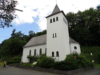
Sankt Apollinaris
Religious Buildings Catholic Churches ID 16871
-
Unten im Mausloch
Field Names ID 52748
-
Unterste Kehre
Field Names ID 38138
-
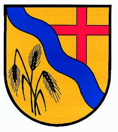
Wappen der Gemeinde Arbach
Coats of Arms ID 10044
-
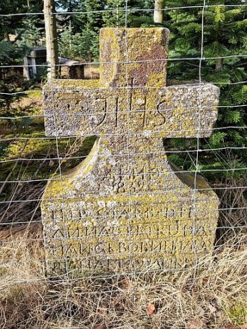
Wegekreuz
Religious Buildings Wayside Shrines and Stations of the Cross ID 16872
-
Mießpesch
Field Names ID 26967
-
Am Messepfad
Field Names ID 38398
-
Auf Hostert
Field Names ID 27892
-
Auf den fünf Vierteln
Field Names ID 42553
-
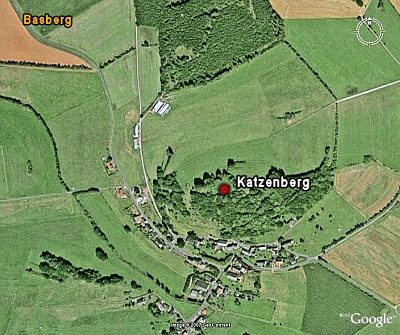
Hinterm Katzenberg
Field Names ID 38340
-
Hofanlage
Residential and Farm Buildings Farmhouses and Farm Buildings ID 34126
-
Im Seitert
Field Names ID 41540
-
In der Lehmkaul
Field Names ID 35943
-
In der Pützwies
Field Names ID 39569
-
Ober der Pützwies
Field Names ID 39571
-
Ortsgeschichte Basberg
Place Names / Local History ID 4076
-
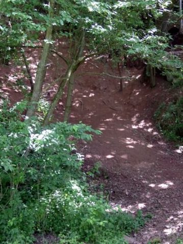
Ringwallanlage Katzenberg
Fortifications and Military Sites Ring Forts ID 23876
-
Streckhof
Residential and Farm Buildings Farmhouses and Farm Buildings ID 16385
-
Unter der Steinkaul
Field Names ID 27700
-
Vulkan Katzenberg
Naturdenkmal - Aufschlusspunkt 10 des GEO-PFAD
Geological Features Volcanoes ID 6650
-
Wegekreuz
Religious Buildings Wayside Shrines and Stations of the Cross ID 30288
-
Wohnhausteil eines früheren Bauernhofes
Residential and Farm Buildings Farmhouses and Farm Buildings ID 16386
-
Wohnhausteil eines früheren Bauernhofes
Residential and Farm Buildings Farmhouses and Farm Buildings ID 16387
-
Auf Elchesrech
Field Names ID 29976
-
Auf dem Schelrech
Field Names ID 29977
-
Auf dem Weidborn im Berg
Field Names ID 32248
-
Auf der Helt und aufm Rotherreis
Field Names ID 43384