Ring Forts · Undated
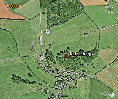
Ringwallanlage Katzenberg


© GeoBasis-DE / LVermGeoRP, dl-de/by-2-0
There is no picture of this object yet. Do you have a photo that you would like to make available to the Kulturdatenbank? Submit a picture
Description
This description is only available in German.
Translate with Google opens this page in Google Translate (external service)
Fundstelle 987
Stark zerstörte Ringwallanlage unbekannter Zeitstellung nördlich von Basberg auf der exponierten Erhöhung "Katzenberg".
Koch u. Schindler 1994, 49
Classification
- Subject area
- Archaeological Monuments
- Object type
- Ring Forts
- Date
- Undatiert
- Period
- Undated
Location
- District
- Vulkaneifel
- Collective municipality
- Gerolstein
- Municipality
- Basberg
- Field name
- Katzenberg
- Coordinates
- WGS 84: 50.296115, 6.606037 (Position: exact) WGS 84: 50° 17′ 46.0″ N, 6° 36′ 21.7″ E UTM 32 (ETRS89): E 329497 · N 5574296
Sources
Data sources
- - Fundstellenkatalog: Die keltisch-römische Siedlung von Wallendorf und ihr archäologisches Umfeld. Dirk L. Krausse unter Mitarbeit von Antje Fischbock, 2006.
- - Dirk Krausse: Eisenzeitlicher Kulturwandel und Romanisierung im Mosel-Eifel-Raum. Verlag: Philipp von Zabern, Mainz, 2006. Beilage 1.
On the internet
Last edited: 9 Dec 2011 Object ID: 23876
https://kulturdb.de/en/objekt/23876-basberg-ringwallanlage-katzenberg
Nearby
The nearest objects
 20 m
Hilltop Castles
Katzenberg
 40 m
Volcanoes
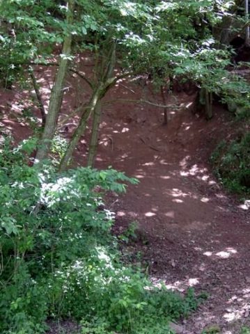
Vulkan Katzenberg
Field Names
Hinterm Katzenberg
Farmhouses and Farm Buildings
Streckhof
Catholic Churches
Sankt Eligius
Farmhouses and Farm Buildings
Hofanlage
Place Names / Local History
Ortsgeschichte Basberg
Farmhouses and Farm Buildings