Eifelkreis Bitburg-Prüm
13,378 heritage sites in Eifelkreis Bitburg-Prüm in the Kulturdatenbank Region Trier.
The map shows all 13,378 results.
-
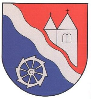
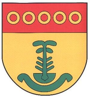
Wappen der Gemeinde Brecht
Coats of Arms ID 2690
-
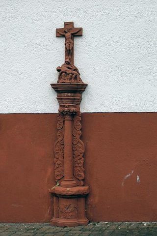
Wegekreuz
Religious Buildings Wayside Shrines and Stations of the Cross ID 496
-
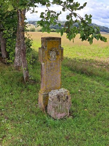
Wegekreuz
Religious Buildings Wayside Shrines and Stations of the Cross ID 10709
-
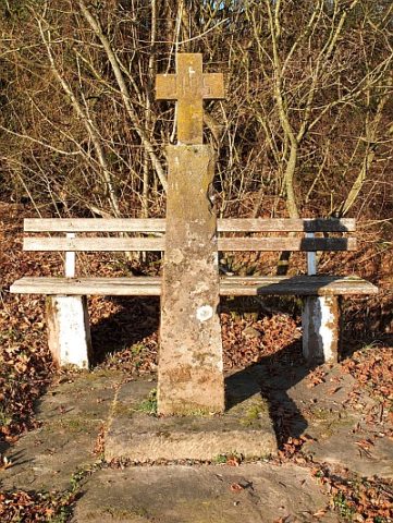
Wegekreuz
Religious Buildings Wayside Shrines and Stations of the Cross ID 33485
-
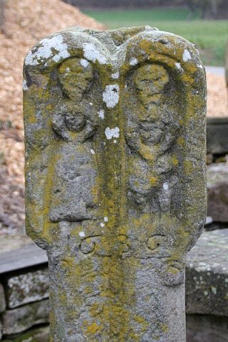
Wegekreuzschaft aus rotem Sandstein
Religious Buildings Wayside Shrines and Stations of the Cross ID 10712
-
Wohnhaus mit Scheune
Residential and Farm Buildings Farmhouses and Farm Buildings ID 10714
-
Wegekreuz
Religious Buildings Wayside Shrines and Stations of the Cross ID 33486
-
Wegekreuzfragment
Religious Buildings Wayside Shrines and Stations of the Cross ID 10713
-
Auf Hasenknapp
Field Names ID 37373
-
Auf Herchendell
Field Names ID 44831
-
Auf Römersborn
Field Names ID 31566
-
Auf dem Maarfeld
Field Names ID 35773
-
Das Kreuz am Maarfeld
Religious Buildings Wayside Shrines and Stations of the Cross ID 52118
-
Ehemaliger Kalkofen
Economy, Trade and Transport Lime Kilns ID 33998
-
Großbäuerliches Anwesen
Mit Schmiede und Brennerei von 1808
Residential and Farm Buildings Farmhouses and Farm Buildings ID 9724
-
Hügelgräberfeld Wagenfelder
Burials Burial Mounds ID 12588
-
Im Ackerpesch
Field Names ID 27029
-
Im Bungert
Field Names ID 28136
-
Im Grund
Field Names ID 46833
-
In Herchdell
Field Names ID 45466
-
In der Birngroth
Field Names ID 43580
-
In der Frankendell
Field Names ID 45219
-
Kalkbrennofen
Economy, Trade and Transport Lime Kilns ID 12700
-
Ortsgeschichte Brimingen
Place Names / Local History ID 867
-
Römische Siedlungsstelle
Settlements Settlements ID 12587
-
Römische Streufunde
Settlements Find Sites ID 12699
-
Schaftkreuz
Religious Buildings Wayside Shrines and Stations of the Cross ID 10860
-
Siedlungsstreuung
Settlements Settlements ID 12586
-
Streckhof
Residential and Farm Buildings Farmhouses and Farm Buildings ID 9712
-
Streckhof
Residential and Farm Buildings Farmhouses and Farm Buildings ID 10484
-
Verschliffene Tumuli
Burials Burial Mounds ID 12698
-
Wappen der Gemeinde Brimingen
Coats of Arms ID 2691
-
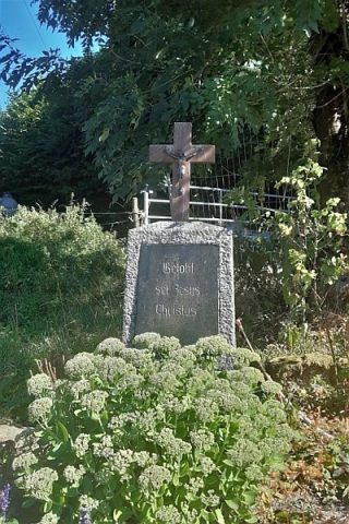
Wegkreuz von 1813
Religious Buildings Wayside Shrines and Stations of the Cross ID 10859
-
Winkelhofanlage
Residential and Farm Buildings Farmhouses and Farm Buildings ID 9713
-
Wohnhaus
Ältestes Wohnhaus des Ortes von 1736
Residential and Farm Buildings Farmhouses and Farm Buildings ID 9714
-
Am Heltenknapp
Field Names ID 37374
-
Am Schneifelfenn
Field Names ID 26904
-
Am Taubenborn
Field Names ID 32259
-
Auf Fischendell
Field Names ID 44826
-
Auf dem Auel
Field Names ID 42147
-
Aufm Dellchen
Field Names ID 44867
-
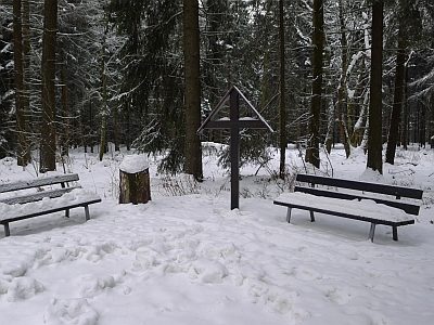
Aussichtspunkt Kettenkreuz
Viewpoints ID 19848
-
Bei der verbrannten Mühle
Field Names ID 42284
-
Ehemalige Bleigrube Bertaschacht (Alt)
Economy, Trade and Transport Extraction and Processing of Raw Materials ID 42604
-
Ehemalige Bleigrube Bertaschacht (Neu)
Economy, Trade and Transport Extraction and Processing of Raw Materials ID 42619
-
Ehemaliger Abbau von Bleierz
Economy, Trade and Transport Extraction and Processing of Raw Materials ID 42630