Extraction and Processing of Raw Materials · Neoclassicism
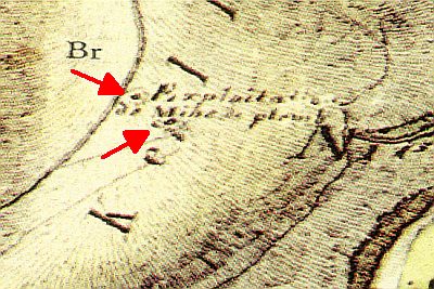
Ehemaliger Abbau von Bleierz


© GeoBasis-DE / LVermGeoRP, dl-de/by-2-0
There is no picture of this object yet. Do you have a photo that you would like to make available to the Kulturdatenbank? Submit a picture
Description
This description is only available in German.
Translate with Google opens this page in Google Translate (external service)
Die Bleierzvorkommen bei Bleialf wurden wahrscheinlich schon in römischer Zeit genutzt. Mit Sicherheit aber lässt sich ihre Geschichte bis ins hohe Mittelalter zurückverfolgen. Der Ortsname "Bleialf", der bereits im 16. Jahrhundert belegt ist, ist auf die Gewinnung der Bleierze in unmittelbarer Nähe zurückzuführen. Silberspuren, die in vielen Bleierzen zu finden sind, hatten zwar nur eine geringe Bedeutung, aber auch sie reizten zum Abbau. [1]
Classification
- Subject area
- Architectural and Art Monuments
- Category
- Economy, Trade and Transport
- Object type
- Extraction and Processing of Raw Materials
- Date
- 1843
- Period
- Neoclassicism
Location
- District
- Eifelkreis Bitburg-Prüm
- Collective municipality
- Prüm
- Municipality
- Buchet
- Field name
- Aufm Heericht
- Coordinates
- WGS 84: 50.243090, 6.311110 (Position: exact) WGS 84: 50° 14′ 35.1″ N, 6° 18′ 40.0″ E UTM 32 (ETRS89): E 308281 · N 5569119
Sources
Data sources
- [1] Dr. Peter Neu: Der Landkreis Bitburg-Prüm, 1998.
- [2] Preußische Kartenaufnahme 1:25000 (1843-1878).
On the internet
Last edited: 9 Jan 2017 Object ID: 42630
https://kulturdb.de/en/objekt/42630-buchet-ehemaliger-abbau-von-bleierz
Nearby
The nearest objects
 230 m
Extraction and Processing of Raw Materials
Ehemalige Bleigrube Bertaschacht (Neu)
Wayside Shrines and Stations of the Cross
Wegekreuz
Extraction and Processing of Raw Materials
Ehemalige Bleigrube Bertaschacht (Alt)
 440 m
Chapels
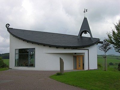
Sankt-Barbara-Kapelle
 440 m
Organs
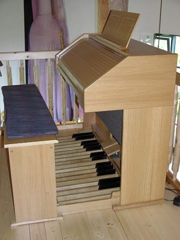
Sankt-Barbara-Kapelle - Orgel
Wayside Shrines and Stations of the Cross
Wegekreuz
Mills
Ehemalige Mühle am Alfbach
 630 m
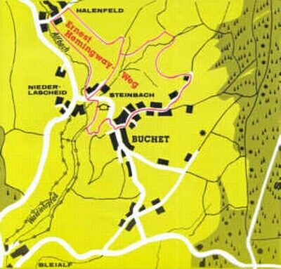
Educational Trails