Ring Forts · Prehistory / Early History
Vor- und frühgeschichtliche Befestigung


© GeoBasis-DE / LVermGeoRP, dl-de/by-2-0
There is no picture of this object yet. Do you have a photo that you would like to make available to the Kulturdatenbank? Submit a picture
Classification
- Subject area
- Archaeological Monuments
- Object type
- Ring Forts
- Date
- Bis circa 500 vor Chr.
Location
- District
- Eifelkreis Bitburg-Prüm
- Collective municipality
- Speicher
- Municipality
- Philippsheim
- Field name
- Auf dem Büschelschen
- Coordinates
- WGS 84: 49.952190, 6.630794 (Position: presumed) WGS 84: 49° 57′ 07.9″ N, 6° 37′ 50.9″ E UTM 32 (ETRS89): E 330046 · N 5536006
Sources
Data sources
- Internet
On the internet
Last edited: 7 Jul 2005 Object ID: 10030
https://kulturdb.de/en/objekt/10030-philippsheim-vor-und-fruehgeschichtliche-befestigung
Nearby
The nearest objects
No picture
80 m
Extraction and Processing of Raw Materials
Ehemaliger Steinbruch
No picture
180 m
Extraction and Processing of Raw Materials
Ehemaliger Steinbruch
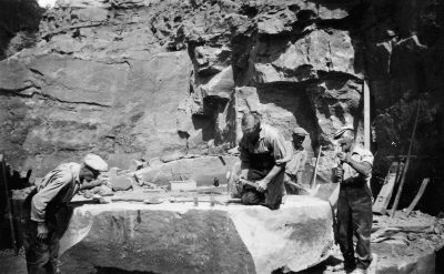 230 m
Extraction and Processing of Raw Materials
Ehemaliger Steinbruch
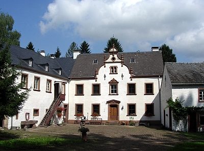 230 m
Farmhouses and Farm Buildings
Gut Pfalzkyll
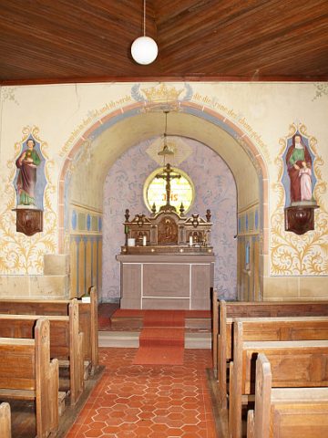 250 m
Chapels
Hofkapelle Gut Pfalzkyll - Innen
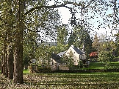 260 m
Place Names / Local History
Gut Pfalzkyll - Geschichte
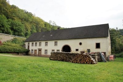 330 m
Mills
Ehemalige Laymühle (1)
330 m
Mills