Farmhouses and Farm Buildings · Neoclassicism
Portal
- Listed monument


© GeoBasis-DE / LVermGeoRP, dl-de/by-2-0
There is no picture of this object yet. Do you have a photo that you would like to make available to the Kulturdatenbank? Submit a picture
Description
This description is only available in German.
Translate with Google opens this page in Google Translate (external service)
Die profilierte Rahmung des die Fassade teilenden Portals, ist durch eine Verzierung mit dem darüber liegenden Fenster verbunden. Das Datum 1720 (in römischen Ziffern) auf dem Sturz passt nicht zu den Stilformen des Hauses- gemeint ist vermutlich 1820.
Classification
- Subject area
- Architectural and Art Monuments
- Category
- Residential and Farm Buildings
- Object type
- Farmhouses and Farm Buildings
- Date
- Vermutlich 1820
- Period
- Neoclassicism
Location
- District
- Eifelkreis Bitburg-Prüm
- Collective municipality
- Südeifel
- Municipality
- Holsthum
- Street
- Oberdorf 18
- Field name
- Ortslage
- Coordinates
- WGS 84: 49.892986, 6.413458 (Position: exact) WGS 84: 49° 53′ 34.7″ N, 6° 24′ 48.4″ E UTM 32 (ETRS89): E 314230 · N 5529941
Sources
Data sources
- Homepage der Initiative Region Trier e.V. Sehen & Erleben - Bau-Denkmäler http://www.regiontrier.de/cgi/bin
On the internet
Last edited: 11 Jul 2005 Object ID: 10035
https://kulturdb.de/en/objekt/10035-holsthum-portal
Nearby
The nearest objects
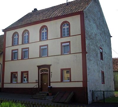 30 m
Administrative Buildings
Ehemaliges Notariat
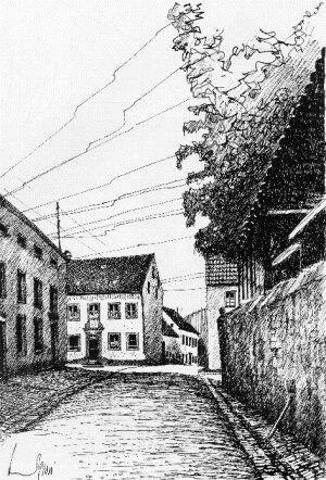 70 m
Place Names / Local History
Erste Erwähnung als Holzheim
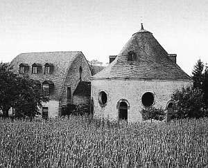 70 m
Extraction and Processing of Raw Materials
Ehemalige Glashütte (1)
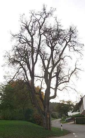 70 m
Pear Trees
Birnbaum
 70 m
Coats of Arms
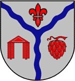
Wappen der Gemeinde Holsthum
 70 m
Extraction and Processing of Raw Materials
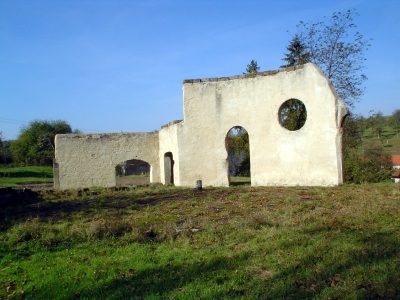
Ehemalige Glashütte (2)
 70 m
Catholic Churches
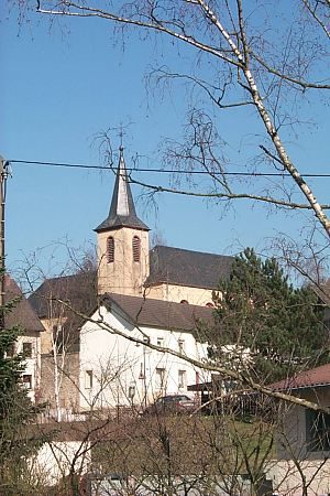
Sankt Maria und Rochus
 100 m
Fountains and Wells