Deserted Settlements · Gothic
Vetus castrum
Wüstung


© GeoBasis-DE / LVermGeoRP, dl-de/by-2-0
There is no picture of this object yet. Do you have a photo that you would like to make available to the Kulturdatenbank? Submit a picture
Description
This description is only available in German.
Translate with Google opens this page in Google Translate (external service)
Gaugrafenburg und spätfränkische Siedlung in den Kaiserthermen. Die Franken bedienten sich der spätrömischen Baulichkeiten, ohne selbst neue Gebäude zu errichten. [1]
Classification
- Subject area
- Archaeological Monuments
- Category
- Settlements
- Object type
- Deserted Settlements
- Date
- Circa 1100 bis circa 1500
- Period
- Gothic
Location
- District
- City of Trier
- Collective municipality
- Verbandsfreie Gemeinde Trier
- Town
- Trier
- Locality / location
- Mitte-Gartenfeld
- Street
- Kaiserstraße
- Field name
- Ortslage
- Coordinates
- WGS 84: 49.749560, 6.641577 (Position: presumed) WGS 84: 49° 44′ 58.4″ N, 6° 38′ 29.7″ E UTM 32 (ETRS89): E 330110 · N 5513456
Sources
Data sources
- [1] Janssen, W.: Studien zur Wüstungsfrage im fränkischen Altsiedelland zwischen Rhein, Mosel und Eifelnordrand. 2 Bände. Text u. Katalog, 1975.
On the internet
Last edited: 19 Oct 2004 Object ID: 101
https://kulturdb.de/en/objekt/101-trier-vetus-castrum
Nearby
The nearest objects
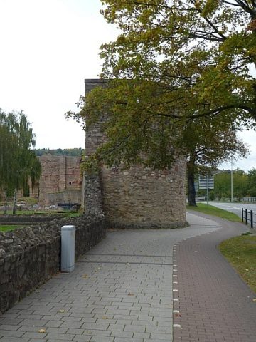 30 m
Town Fortifications
Turm der mittelalterlichen Stadtmauer - Nr. 27
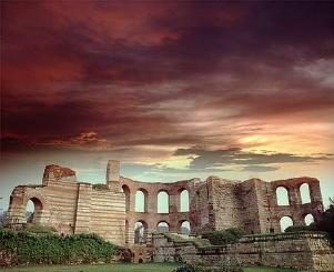 30 m
Recreation and Sports Facilities
Kaiserthermen (1)
 30 m
Recreation and Sports Facilities
Kaiserthermen (2)
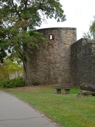 40 m
Town Fortifications
Turm der mittelalterl. Stadtmauer - Nr. 26
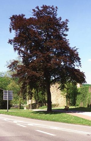 40 m
Beeches
Blutbuche an den Kaiserthermen
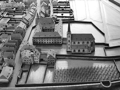 60 m
Catholic Churches
Kirche Sankt Gervasius
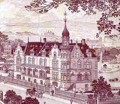 80 m
Settlements
Römisches Wohnhaus unter der ehem. Villa Schaab
80 m
Town Houses and Commercial Buildings