Wayside Shrines and Stations of the Cross · Renaissance
Sandsteinkreuz
- Listed monument

Description
This description is only available in German.
Translate with Google opens this page in Google Translate (external service)
In der Böschungsmauer des Pfarrgartens eingemauertes, am Schaft gebrochenes Balkenkreuz aus Rotsandstein.
Das ehemals freistehende Wegekreuz entspricht im Typ einfachen Balkenkreuzen in Nachbargemeinden aus der zweiten Hälfte des 17. Jahrhunderts. [1]
Classification
- Subject area
- Architectural and Art Monuments
- Category
- Religious Buildings
- Object type
- Wayside Shrines and Stations of the Cross
- Date
- Zweite Hälfte des 17. Jahrhunderts
- Period
- Renaissance
Location
- District
- Trier-Saarburg
- Collective municipality
- Schweich an der römischen Weinstraße
- Municipality
- Riol
- Street
- Bei Peter-von-Aspelt-Straße 9
- Field name
- Ortslage
- Coordinates
- WGS 84: 49.792497, 6.789139 (Position: exact) WGS 84: 49° 47′ 33.0″ N, 6° 47′ 20.9″ E UTM 32 (ETRS89): E 340880 · N 5517905
Sources
Data sources
- [1] Denkmaltopographie Bundesrepublik Deutschland. Kulturdenkmäler in Rheinland-Pfalz. Band 12.2 Kreis Trier-Saarburg. Wernersche Verlagsgesellschaft mbH, Worms. ISBN 3-88462-110-6 (1. Auflage 1994)
On the internet
Picture credits
- Picture 1: © Dr. Peter Stolz, Trier, 2022.
Last edited: 4 Aug 2022 Object ID: 10169
https://kulturdb.de/en/objekt/10169-riol-sandsteinkreuz
Nearby
The nearest objects
 less than 10 m
Rectories
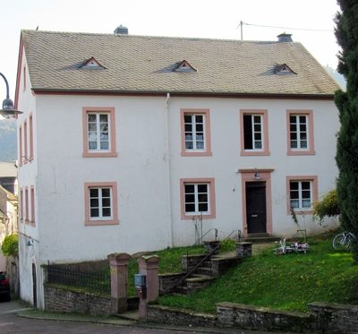
Pfarrhaus Riol
 10 m
Fountains and Wells
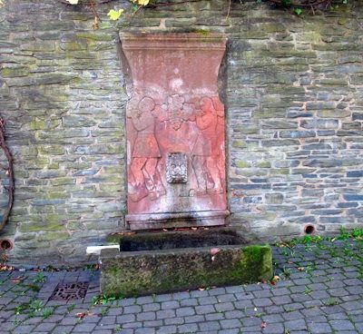
Brunnen mit Trog
 70 m
War Memorials
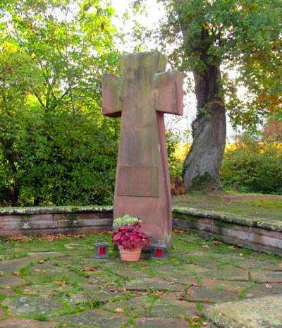
Kriegerdenkmal Riol
 80 m
Catholic Churches
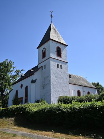
Martinskirche
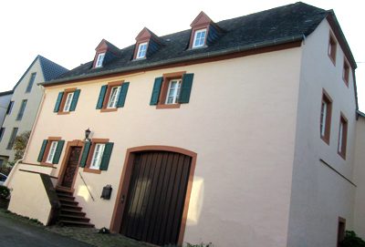 90 m
Farmhouses and Farm Buildings
Hofanlage
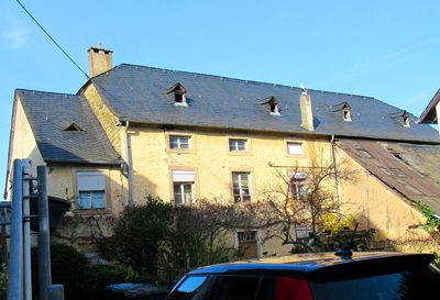 150 m
Farmhouses and Farm Buildings
Quereinhaus
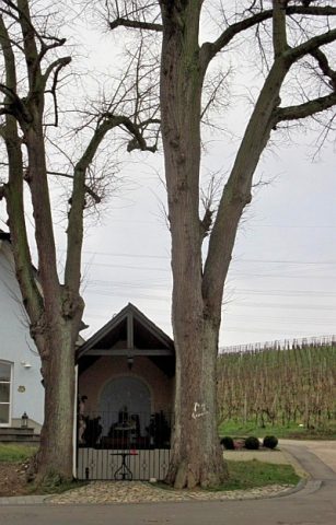 160 m
Chapels
Kapelle
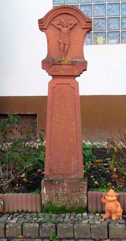 170 m
Wayside Shrines and Stations of the Cross