Farmhouses and Farm Buildings · Neoclassicism
Winkelhof
- Listed monument


© GeoBasis-DE / LVermGeoRP, dl-de/by-2-0
There is no picture of this object yet. Do you have a photo that you would like to make available to the Kulturdatenbank? Submit a picture
Description
This description is only available in German.
Translate with Google opens this page in Google Translate (external service)
Der Winkelhof befindet sich heute neben einem Bahndamm. Ursprünglich stand er unmittelbar am Ufer der Prüm. Sein ältester Teil ist eine Scheune, deren großes korbbogiges Tor 1817 datiert ist. Das Portal des Wohnhauses ist auf das Jahr 1832 datiert, darunter befinden sich die Initialen der Erbauer Johannes Dimmer und Anna Kreif. Ein Stall, aus der zweiten Hälfte des 19. Jahrhunderts, schließt den Hof nach Südosten ab.
Classification
- Subject area
- Architectural and Art Monuments
- Category
- Residential and Farm Buildings
- Object type
- Farmhouses and Farm Buildings
- Date
- 1817
- Period
- Neoclassicism
Location
- District
- Eifelkreis Bitburg-Prüm
- Collective municipality
- Südeifel
- Municipality
- Menningen
- Street
- Hauptstraße 17
- Field name
- Bei Burg
- Coordinates
- WGS 84: 49.838990, 6.475270 (Position: exact) WGS 84: 49° 50′ 20.4″ N, 6° 28′ 31.0″ E UTM 32 (ETRS89): E 318466 · N 5523787
Sources
Data sources
- Homepage der Initiative Region Trier e.V. Sehen & Erleben - Bau-Denkmäler http://www.regiontrier.de/cgi/bin
On the internet
Last edited: 22 Aug 2014 Object ID: 10204
https://kulturdb.de/en/objekt/10204-menningen-winkelhof
Nearby
The nearest objects
Fortresses and Bunkers
Westwall - Feldkanonen-Stand
 80 m
Coats of Arms
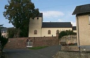
Wappen der Gemeinde Menningen
 80 m
Place Names / Local History
Chronik der Gemeinde Menningen
Field Names
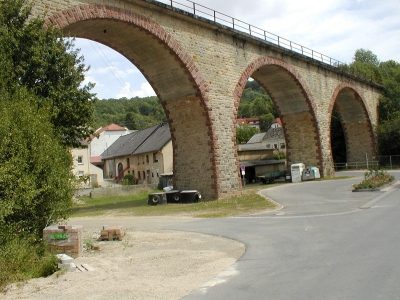
Auf dem Werth
 140 m
Railways
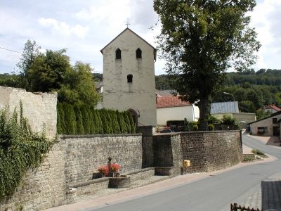
Eisenbahnviadukt
 150 m
Catholic Churches
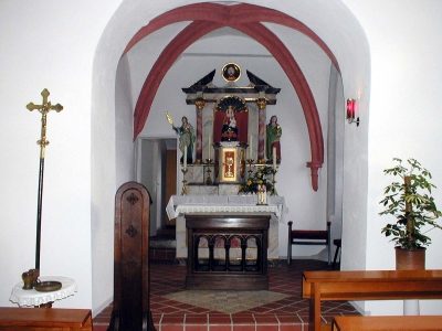
Sankt Agatha
 150 m
Altars
Sankt Agatha - Altar
 150 m
Catholic Churches