Place Names / Local History · Neoclassicism
Ortsgeschichte Scheuerdell
- Listed monument


© GeoBasis-DE / LVermGeoRP, dl-de/by-2-0
There is no picture of this object yet. Do you have a photo that you would like to make available to the Kulturdatenbank? Submit a picture
Description
This description is only available in German.
Translate with Google opens this page in Google Translate (external service)
Die Wohnplätze Kalenborn, Rodenhof und Scheuerdell im nördlichen Teil der Gemarkung, entstanden im 19. Jahrhundert. [1]
Classification
- Subject area
- History
- Category
- Place Names / Local History
- Date
- 19. Jahrhundert
- Period
- Neoclassicism
Location
- District
- Eifelkreis Bitburg-Prüm
- Collective municipality
- Südeifel
- Municipality
- Weidingen
- Locality / location
- Scheuerdell
- Field name
- Dreisigland
- Coordinates
- WGS 84: 50.020805, 6.368270 (Position: within the village) WGS 84: 50° 01′ 14.9″ N, 6° 22′ 05.8″ E UTM 32 (ETRS89): E 311485 · N 5544263
Sources
Data sources
- [1] Denkmaltopographie Bundesrepublik Deutschland, Kulturdenkmäler in Rheinland-Pfalz, Kreis Bitburg-Prüm, 9.3 Wernersche Verlagsgesellschaft ISBN 3-88462-170-X
On the internet
Last edited: 8 Sep 2005 Object ID: 10259
https://kulturdb.de/en/objekt/10259-weidingen-ortsgeschichte-scheuerdell
Nearby
The nearest objects
 140 m
Wayside Shrines and Stations of the Cross
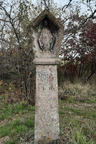
Schaftkreuz mit Fatima-Madonna
Fossils
Fundstellen tierischer Versteinerungen
Field Names
In Kallenborn
Place Names / Local History
Ortsgeschichte Rodenhof
Field Names
In Seifersdell
Place Names / Local History
Ortsgeschichte Kalenborn
Viewpoints
Aussichtspunkt westlich Kalenborn
Field Names