Place Names / Local History · Neoclassicism
Ortsgeschichte Waxbrunnen


© GeoBasis-DE / LVermGeoRP, dl-de/by-2-0
There is no picture of this object yet. Do you have a photo that you would like to make available to the Kulturdatenbank? Submit a picture
Description
This description is only available in German.
Translate with Google opens this page in Google Translate (external service)
Die Ansiedlung Waxbrunnen entstand ab 1824 bei einem Wegekreuz von 1807 bei der Einmündung des Weges von Neidenbach in die Trier über Prüm mit Lüttich verbindende Straße. [1]
Classification
- Subject area
- History
- Category
- Place Names / Local History
- Date
- 1824
- Period
- Neoclassicism
Location
- District
- Eifelkreis Bitburg-Prüm
- Collective municipality
- Bitburger Land
- Municipality
- Sefferweich
- Locality / location
- Waxbrunnen
- Field name
- Ortslage
- Coordinates
- WGS 84: 50.085431, 6.535656 (Position: exact) WGS 84: 50° 05′ 07.6″ N, 6° 32′ 08.4″ E UTM 32 (ETRS89): E 323710 · N 5551038
Sources
Data sources
- [1] Denkmaltopographie Bundesrepublik Deutschland, Kulturdenkmäler in Rheinland-Pfalz, Kreis Bitburg-Prüm, 9.2 Wernersche Verlagsgesellschaft 1994. ISBN 3-88462-132-7
On the internet
Last edited: 13 Feb 2011 Object ID: 10282
https://kulturdb.de/en/objekt/10282-sefferweich-ortsgeschichte-waxbrunnen
Nearby
The nearest objects
Farmhouses and Farm Buildings
Gehöft von 1824
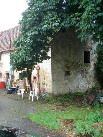 70 m
Wayside Shrines and Stations of the Cross
Barockes Schaftkreuz
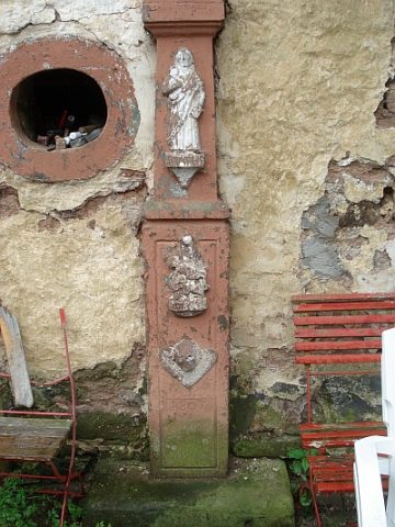 70 m
Chapels
Ehemalige Kapelle
Field Names
In Longendell
Extraction and Processing of Raw Materials
Ehemaliger Steinbruch
Extraction and Processing of Raw Materials
Ehemaliger Steinbruch
 520 m
Road Transport
Spuren der Römerstraße Trier-Köln
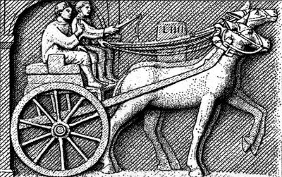 610 m
Road Transport