Place Names / Local History · Neoclassicism
Ortsgeschichte Karlshauser Mühle
- Listed monument


© GeoBasis-DE / LVermGeoRP, dl-de/by-2-0
There is no picture of this object yet. Do you have a photo that you would like to make available to the Kulturdatenbank? Submit a picture
Description
This description is only available in German.
Translate with Google opens this page in Google Translate (external service)
Von den zahlreichen Einzelhöfen und Gehöftgruppen in der Gemarkung Karlshausen bestanden um 1840 erst die Weiler Haubendell, Jucker Straße und Wolperdorf (damals noch Klosvolpert genannt) sowie die Karlshauser Mühle; letztere ist bereits in der Tranchot-Karte von 1818 verzeichnet. [1]
Classification
- Subject area
- History
- Category
- Place Names / Local History
- Date
- 1818
- Period
- Neoclassicism
Location
- District
- Eifelkreis Bitburg-Prüm
- Collective municipality
- Südeifel
- Municipality
- Karlshausen
- Locality / location
- Karlshauser Mühle
- Field name
- Ortslage
- Coordinates
- WGS 84: 50.035617, 6.206930 (Position: within the village) WGS 84: 50° 02′ 08.2″ N, 6° 12′ 24.9″ E UTM 32 (ETRS89): E 299991 · N 5546329
Sources
Data sources
- [1] Denkmaltopographie Bundesrepublik Deutschland, Kulturdenkmäler in Rheinland-Pfalz, Kreis Bitburg-Prüm, 9.3 Wernersche Verlagsgesellschaft ISBN 3-88462-170-X
On the internet
Last edited: 7 Apr 2010 Object ID: 10293
https://kulturdb.de/en/objekt/10293-karlshausen-ortsgeschichte-karlshauser-muehle
Nearby
The nearest objects
Mills
Karlshausermühle im Irsental
Wayside Shrines and Stations of the Cross
Schlangenkreuz in Falkenauel
Field Names
Am Rothenack
Settlements
Reste römischer Bauwerke
Field Names
Walmersrödchen
Field Names
In der Tiefdell
Field Names
Rehdell
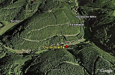 660 m
Natural Landscapes