Jewish History · Gothic
Jüdische Siedlung

Description
This description is only available in German.
Translate with Google opens this page in Google Translate (external service)
Zeitlicher Nachweis: 1251-1430
Classification
- Subject area
- History
- Category
- Place Names / Local History
- Object type
- Jewish History
- Date
- 1251-1430
- Period
- Gothic
Location
- District
- Trier-Saarburg
- Collective municipality
- Saarburg-Kell
- Town
- Saarburg
- Field name
- Ortslage
- Coordinates
- WGS 84: 49.608074, 6.551555 (Position: exact) WGS 84: 49° 36′ 29.1″ N, 6° 33′ 05.6″ E UTM 32 (ETRS89): E 323113 · N 5497935
Sources
Data sources
- Zwischen Maas und Rhein: Jüdische Niederlassungen im Mittelalter. Karte und Ortskatalog digital. (Geschichtlicher Atlas der Rheinlande) Sonderforschungsbereich 235
On the internet
uni-trier.de/infos/sfb235/sfb235.htm
Picture credits
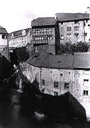
- Picture 1: © Reichard / Heidenblut; Synagogen Im Landkreis Trier-Saarburg. 1998
Last edited: 30 Oct 2007 Object ID: 10422
https://kulturdb.de/en/objekt/10422-saarburg-juedische-siedlung
Nearby
The nearest objects
 less than 10 m
Jewish History
Jüdische Geschichte
less than 10 m
Synagogues
Ehemalige Synagoge
less than 10 m
Monuments
Ehemalige Synagoge - Gedenktafel
No picture
10 m
Town Houses and Commercial Buildings
Wohnhaus
No picture
20 m
Town Houses and Commercial Buildings
Architekturteile
 30 m
Museums
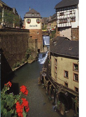
Mühlenmuseum Hackenberger Mühle
 30 m
Town Houses and Commercial Buildings
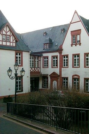
Warsberger Hof
 30 m
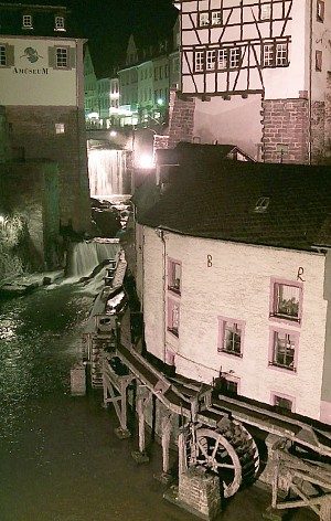
Mills