Jewish History · Gothic
Jüdische Siedlung


© GeoBasis-DE / LVermGeoRP, dl-de/by-2-0
There is no picture of this object yet. Do you have a photo that you would like to make available to the Kulturdatenbank? Submit a picture
Description
This description is only available in German.
Translate with Google opens this page in Google Translate (external service)
Zeitlicher Nachweis: 1431-1520
Status: gesichert
Classification
- Subject area
- History
- Category
- Place Names / Local History
- Object type
- Jewish History
- Date
- 1431-1520
- Period
- Gothic
Location
- District
- Trier-Saarburg
- Collective municipality
- Trier-Land
- Municipality
- Igel
- Field name
- Ortslage
- Coordinates
- WGS 84: 49.709977, 6.547995 (Position: within the village) WGS 84: 49° 42′ 35.9″ N, 6° 32′ 52.8″ E UTM 32 (ETRS89): E 323226 · N 5509272
Sources
Data sources
- Zwischen Maas und Rhein: Jüdische Niederlassungen im Mittelalter. Karte und Ortskatalog digital. (Geschichtlicher Atlas der Rheinlande) Sonderforschungsbereich 235
On the internet
Last edited: 28 Sep 2005 Object ID: 10423
https://kulturdb.de/en/objekt/10423-igel-juedische-siedlung
Nearby
The nearest objects
 less than 10 m
Place Names / Local History
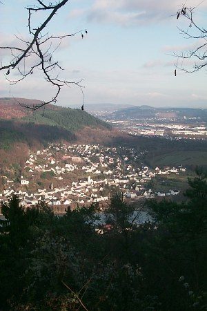
Erste Erwähnung als Villa Agullia
 50 m
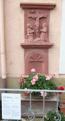
Wayside Shrines and Stations of the Cross
Vogelskreuz
 80 m
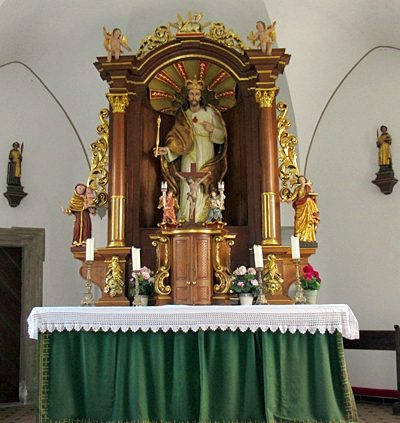
Catholic Churches
Sankt Dionysius - Innenausstattung
 80 m
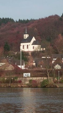
Catholic Churches
Sankt Dionysius
 100 m
Fortresses and Bunkers
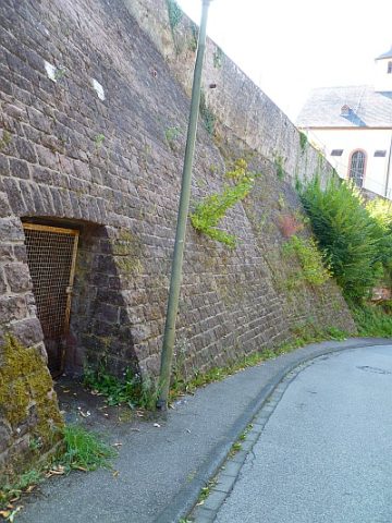
Luftschutzstollen
 100 m
War Memorials
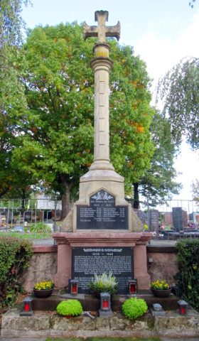
Kriegerdenkmal Friedhof Igel
 120 m
Market Towns
Marktort Igel
 120 m
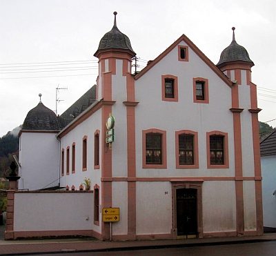
Castles