Jewish History · Gothic
Jüdische Siedlung

Description
This description is only available in German.
Translate with Google opens this page in Google Translate (external service)
Zeitlicher Nachweis:1251-1350
Status: ungesichert / geplant [1]
Classification
- Subject area
- History
- Category
- Place Names / Local History
- Object type
- Jewish History
- Date
- 1251-1350
- Period
- Gothic
Location
- District
- Eifelkreis Bitburg-Prüm
- Collective municipality
- Südeifel
- Town
- Neuerburg
- Field name
- Ortslage
- Coordinates
- WGS 84: 50.010792, 6.295160 (Position: within the village) WGS 84: 50° 00′ 38.9″ N, 6° 17′ 42.6″ E UTM 32 (ETRS89): E 306208 · N 5543336
Sources
Data sources
- [1] Zwischen Maas und Rhein: Jüdische Niederlassungen im Mittelalter. Karte und Ortskatalog digital. (Geschichtlicher Atlas der Rheinlande) Sonderforschungsbereich 235
On the internet
uni-trier.de/infos/sfb235/sfb235.htm
Picture credits
- Picture 1: Internet
Last edited: 7 Oct 2003 Object ID: 10424
https://kulturdb.de/en/objekt/10424-neuerburg-juedische-siedlung
Nearby
The nearest objects
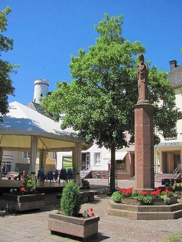 30 m
Wayside Shrines and Stations of the Cross
Mariensäule
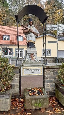 40 m
Wayside Shrines and Stations of the Cross
Johannes von Nepomuk am Enzbach
 50 m
Market Towns
Marktort Neuerburg
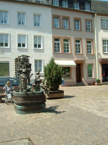 50 m
Works of Art
Marktbrunnen
 60 m
Castles
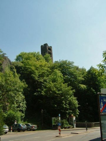
Höhenburg Ruine Beilsturm
Baroque Gardens
Gartenhäuschen
 80 m
Town Houses and Commercial Buildings
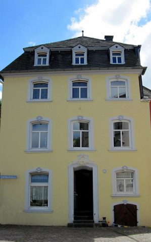
Wohnhaus
Town Houses and Commercial Buildings