Place Names / Local History · Gothic
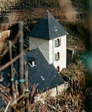
Synagoge

Description
This description is only available in German.
Translate with Google opens this page in Google Translate (external service)
Zeitlicher Nachweis: 1351-1430
Status: nicht genutzt
Classification
- Subject area
- History
- Category
- Place Names / Local History
- Date
- 1351-1430
- Period
- Gothic
Location
- District
- Bernkastel-Wittlich
- Town
- Bernkastel-Kues
- Locality / location
- Bernkastel
- Field name
- Ortslage
- Coordinates
- WGS 84: 49.915819, 7.072886 (Position: within the village) WGS 84: 49° 54′ 56.9″ N, 7° 04′ 22.4″ E UTM 32 (ETRS89): E 361653 · N 5531052
Sources
Data sources
- Zwischen Maas und Rhein: Jüdische Niederlassungen im Mittelalter. Karte und Ortskatalog digital. (Geschichtlicher Atlas der Rheinlande) Sonderforschungsbereich 235
On the internet
uni-trier.de/infos/sfb235/sfb235.htm
Picture credits
- Picture 1: http://www.duchesse.de/gesang/synagoge.htm
Last edited: 21 Jul 2006 Object ID: 10428
https://kulturdb.de/en/objekt/10428-bernkastel-kues-synagoge
Nearby
The nearest objects
 less than 10 m
Chartered Towns
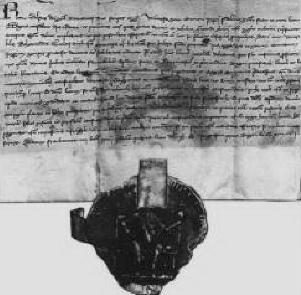
Stadtrechte Bernkastel
 less than 10 m
Place Names / Local History
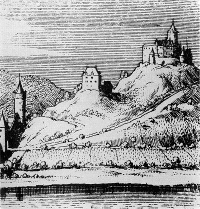
Ortsgeschichte
 less than 10 m
Coats of Arms
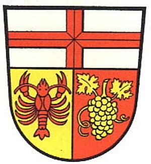
Wappen der Stadt Bernkastel-Kues
No picture
less than 10 m
Jewish Cemeteries
Alter jüdischer Friedhof
 10 m
Wayside Shrines and Stations of the Cross
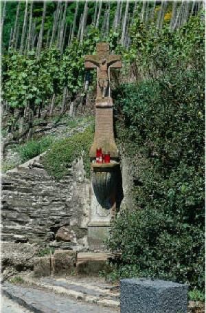
Wegekreuz
 30 m
Jewish History
Jüdische Geschichte Bernkastel
No picture
40 m
Ferries
Ehemalige Fähre
 90 m
Parish and Monastery Gardens