Farmhouses and Farm Buildings · Neoclassicism
Wohnhaus
- Listed monument


© GeoBasis-DE / LVermGeoRP, dl-de/by-2-0
There is no picture of this object yet. Do you have a photo that you would like to make available to the Kulturdatenbank? Submit a picture
Description
This description is only available in German.
Translate with Google opens this page in Google Translate (external service)
Hier steht ein im Inneren fast unverändertes Wohnhaus aus der ersten Hälfte des 19. Jahrhunderts. In der Küche haben sich der Spülstein, die gemauerten Feierbögen und die Takenanlage mit Ofenstein erhalten. Ferner sind Backofen, Türblätter und ein Brunnen vorhanden.
Classification
- Subject area
- Architectural and Art Monuments
- Category
- Residential and Farm Buildings
- Object type
- Farmhouses and Farm Buildings
- Date
- Erste Hälfte des 19. Jahrhunderts
- Period
- Neoclassicism
Location
- District
- Eifelkreis Bitburg-Prüm
- Collective municipality
- Südeifel
- Municipality
- Wallendorf
- Street
- Sauertalstraße 46
- Field name
- Ortslage
- Coordinates
- WGS 84: 49.876192, 6.288800 (Position: exact) WGS 84: 49° 52′ 34.3″ N, 6° 17′ 19.7″ E UTM 32 (ETRS89): E 305210 · N 5528391
Sources
Data sources
- Homepage der Initiative Region Trier e.V. Sehen & Erleben - Bau-Denkmäler http://www.regiontrier.de/cgi/bin
On the internet
Last edited: 25 Oct 2005 Object ID: 10508
https://kulturdb.de/en/objekt/10508-wallendorf-wohnhaus
Nearby
The nearest objects
Fountains and Wells
Genovevabrunnen
Fountains and Wells
Fischerbrunnen
 40 m
Coats of Arms
Wappen der Gemeinde Wallendorf
40 m
Place Names / Local History
Chronik der Gemeinde Wallendorf
Farmhouses and Farm Buildings
Anwesen mit Kapelle und Brennerei
Chapels
Anwesen mit Kapelle und Brennerei - Kapelle
 80 m
Catholic Churches
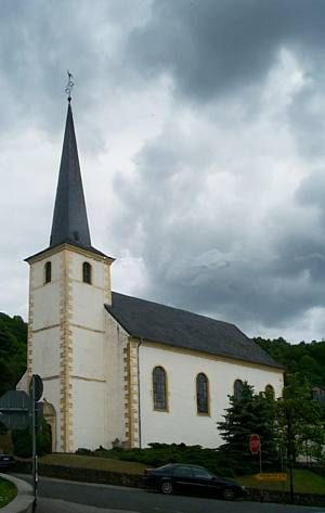
Sankt Peter und Paul
Wayside Shrines and Stations of the Cross