Town Fortifications · Early Middle Ages / Romanesque
Judenpforte Simeonstraße-Stockstraße
- Listed monument

Classification
- Subject area
- Architectural and Art Monuments
- Object type
- Town Fortifications
- Date
- 11. Jahrhundert
Location
- District
- City of Trier
- Collective municipality
- Verbandsfreie Gemeinde Trier
- Town
- Trier
- Locality / location
- Mitte-Gartenfeld
- Street
- Simeonstraße / Stockstraße
- Field name
- Ortslage
- Coordinates
- WGS 84: 49.757497, 6.641849 (Position: exact) WGS 84: 49° 45′ 27.0″ N, 6° 38′ 30.7″ E UTM 32 (ETRS89): E 330158 · N 5514337
Sources
Data sources
- Elektronisches Kartenarchiv des Sonderforschungsbereichs 235 "Zwischen Maas und Rhein" Prof. Dr. Franz Irsigler für den SFB 235, Universität Trier http://136.199.110.189/cgi-bin/RMnetIndex.tcl/
On the internet
trierer-orgelpunkt.de/judengasse.html
Picture credits
- Picture 1: © Peter Valerius, Kordel, 2006.
Last edited: 4 Jan 2006 Object ID: 10512
https://kulturdb.de/en/objekt/10512-trier-judenpforte-simeonstrasse-stockstrasse
Nearby
The nearest objects
No picture
less than 10 m
Town Houses and Commercial Buildings
Fassade
No picture
20 m
Town Houses and Commercial Buildings
Geschäfts- und Mietshaus
No picture
20 m
Town Houses and Commercial Buildings
Wohn- und Geschäftshaus
No picture
20 m
Town Houses and Commercial Buildings
Geschäfts- und Mietshaus
No picture
20 m
Town Houses and Commercial Buildings
Häuser Simeonstraße 28/29
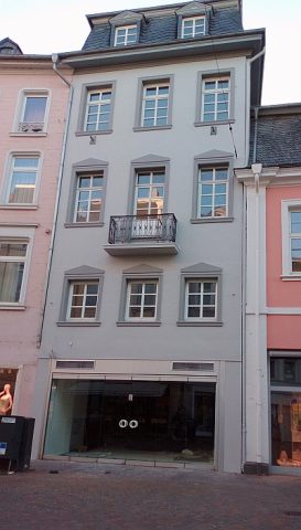 20 m
Economy, Trade and Transport
Ehemalige Bürstenfabrik Reichert - Geschäftshaus
No picture
20 m
Town Houses and Commercial Buildings
Doppelhausfassade
No picture
30 m
Town Houses and Commercial Buildings