Place Names / Local History · Neoclassicism
Ortsgeschichte Scheuerbaum
- Listed monument


© GeoBasis-DE / LVermGeoRP, dl-de/by-2-0
There is no picture of this object yet. Do you have a photo that you would like to make available to the Kulturdatenbank? Submit a picture
Description
This description is only available in German.
Translate with Google opens this page in Google Translate (external service)
Die Wohnplätze Berscheiderhof und Scheuerbaum sind bereits in der Tranchot-Karte von 1818 verzeichnet. [1]
Classification
- Subject area
- History
- Category
- Place Names / Local History
- Date
- 1818
- Period
- Neoclassicism
Location
- District
- Eifelkreis Bitburg-Prüm
- Collective municipality
- Arzfeld
- Municipality
- Lauperath
- Locality / location
- Scheuerbaum
- Field name
- Ortslage
- Coordinates
- WGS 84: 50.085429, 6.316089 (Position: exact) WGS 84: 50° 05′ 07.5″ N, 6° 18′ 57.9″ E UTM 32 (ETRS89): E 308005 · N 5551579
Sources
Data sources
- [1] Denkmaltopographie Bundesrepublik Deutschland, Kulturdenkmäler in Rheinland-Pfalz, Kreis Bitburg-Prüm, 9.3 Wernersche ISBN 3-88462-170-X
On the internet
Last edited: 29 Sep 2013 Object ID: 10557
https://kulturdb.de/en/objekt/10557-lauperath-ortsgeschichte-scheuerbaum
Nearby
The nearest objects
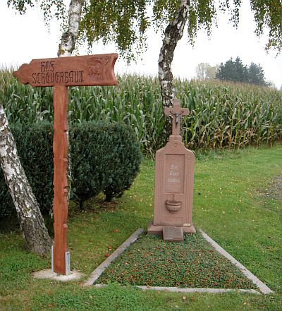 230 m
Wayside Shrines and Stations of the Cross
Scheuerbaum Kreuz
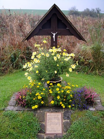 250 m
Wayside Shrines and Stations of the Cross
Schustisch Kreuz
Field Names
In Schardell
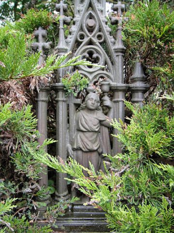 450 m
Burial Sites
Grabkreuz
Field Names
Auf Kappenseufen
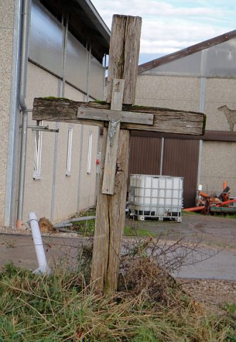 500 m
Wayside Shrines and Stations of the Cross
Wegekreuz
Field Names
In Girdendell
 670 m
Chapels