Wayside Shrines and Stations of the Cross · Baroque / Rococo
Sogenanntes Löschkreuz
- Listed monument


© GeoBasis-DE / LVermGeoRP, dl-de/by-2-0
There is no picture of this object yet. Do you have a photo that you would like to make available to the Kulturdatenbank? Submit a picture
Description
This description is only available in German.
Translate with Google opens this page in Google Translate (external service)
Südwestlich der Umspannanlage, jetzt im Feld stehender Sockel eines barocken Schaftkreuzes aus der Mitte des 18. Jahrhundert.
Die Stirnseite ist mit Kartusche unter Volutenkonsole versehen, die Seiten diamantiert. Über einer Platte befindet sich anstelle des Schafts ein Block mit nicht mehr zu entziffernder Inschrift. Die Rückseite trägt Einritzungen (wohl nachträglich), unter anderem drei Kreuze.
Classification
- Subject area
- Architectural and Art Monuments
- Category
- Religious Buildings
- Object type
- Wayside Shrines and Stations of the Cross
- Date
- Mitte des 18. Jahrhunderts
- Period
- Baroque / Rococo
Location
- District
- Eifelkreis Bitburg-Prüm
- Collective municipality
- Bitburger Land
- Municipality
- Niederstedem
- Locality / location
- Umspannanlage
- Field name
- In Lischend
- Coordinates
- WGS 84: 49.918659, 6.473232 (Position: exact) WGS 84: 49° 55′ 07.2″ N, 6° 28′ 23.6″ E UTM 32 (ETRS89): E 318619 · N 5532648
Sources
Data sources
- Homepage der Initiative Region Trier e.V. Sehen & Erleben - Bau-Denkmäler http://www.regiontrier.de/cgi/bin
On the internet
Last edited: 1 Dec 2005 Object ID: 10562
https://kulturdb.de/en/objekt/10562-niederstedem-sogenanntes-loeschkreuz
Nearby
The nearest objects
 200 m
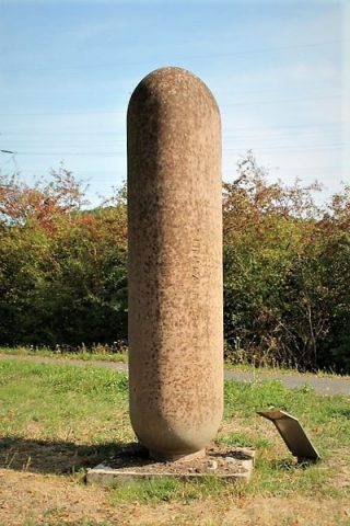
Works of Art
Unit - A.LB. 03 s/1.25 co
Field Names
Auf dem Moltersdriesch
 350 m
Settlements
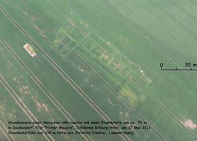
Grundmauern einer römischen Villa Rustica
 470 m
Settlements
Römische Siedlungsstelle
Field Names
Auf der Steinrausch
Vineyard Sites
Im Wingertsberg
Settlements
Römische Siedlungsreste
 780 m
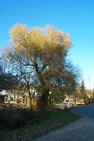
Willows