Extraction and Processing of Raw Materials · Baroque / Rococo
Erzabbau am Teufelskopf


© GeoBasis-DE / LVermGeoRP, dl-de/by-2-0
There is no picture of this object yet. Do you have a photo that you would like to make available to the Kulturdatenbank? Submit a picture
Description
This description is only available in German.
Translate with Google opens this page in Google Translate (external service)
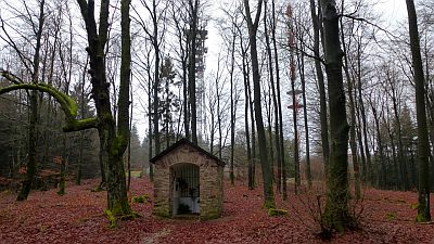
Der eigentliche Ursprung der Michaelskapelle auf dem Teufelskopf liegt schon um 1700. Anfangs war hier nur das Bild des heiligen Michael in einen Eichenstamm eingehauen. Bergmänner der Erzgruben hatten es aufgestellt, denn über Jahrhunderte wurde am Teufelskopf nach Erz gegraben. [1]
Classification
- Subject area
- Architectural and Art Monuments
- Category
- Economy, Trade and Transport
- Object type
- Extraction and Processing of Raw Materials
- Date
- Um 1700
- Period
- Baroque / Rococo
Location
- District
- Trier-Saarburg
- Collective municipality
- Saarburg-Kell
- Municipality
- Waldweiler
- Field name
- Rödelswald
- Coordinates
- WGS 84: 49.597890, 6.825761 (Position: presumed) WGS 84: 49° 35′ 52.4″ N, 6° 49′ 32.7″ E UTM 32 (ETRS89): E 342889 · N 5496194
Sources
Data sources
- [1] Aus dem Hochwald. Alte und neue Kapellen. Hrsg. Arbeitskreis Heimatkunde Bildungswerk Johanneshaus Hermeskeil. Hermeskeil 1989
On the internet
Last edited: 10 Jun 2021 Object ID: 10597
https://kulturdb.de/en/objekt/10597-waldweiler-erzabbau-am-teufelskopf
Nearby
The nearest objects
 60 m
Viewpoints
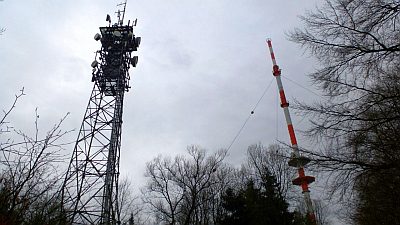
Aussichtspunkt Teufelskopf
 80 m
Chapels
Michaelskapelle auf dem Teufelskopf
 80 m
Wayside Shrines and Stations of the Cross
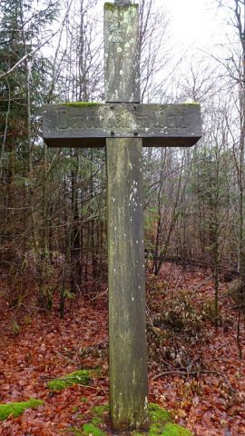
Altes Holzkreuz auf dem Teufelskopf
 90 m
Charcoal Kilns
Ehemaliger Meilerplatz
300 m
Charcoal Kilns
Ehemaliger Meilerplatz
310 m
Charcoal Kilns
Ehemaliger Meilerplatz
400 m
Charcoal Kilns
Ehemaliger Meilerplatz
400 m
Charcoal Kilns