Wayside Shrines and Stations of the Cross · Historicism / Art Nouveau
Wegekreuz aus dem 19. Jahrhundert
Hauptstraße an der Abzweigung nach Eßlingen
- Listed monument

Description
This description is only available in German.
Translate with Google opens this page in Google Translate (external service)
Wegekreuz mit im Sockel eingelassener Muschelnische.
Die heutige darin aufgestellte Pièta ist nicht zugehörig, jedoch für dieses Thema vorgesehen, wie aus der Inschrift der unterhalb angebrachten Tafel hervorgeht.
Classification
- Subject area
- Architectural and Art Monuments
- Category
- Religious Buildings
- Object type
- Wayside Shrines and Stations of the Cross
- Date
- Zweite Hälfte des 19. Jahrhunderts
Location
- District
- Eifelkreis Bitburg-Prüm
- Collective municipality
- Bitburger Land
- Municipality
- Oberstedem
- Street
- Hauptstraße
- Field name
- Ortslage
- Coordinates
- WGS 84: 49.929144, 6.510155 (Position: exact) WGS 84: 49° 55′ 44.9″ N, 6° 30′ 36.6″ E UTM 32 (ETRS89): E 321308 · N 5533725
Sources
Data sources
- Homepage der Initiative Region Trier e.V. Sehen & Erleben - Bau-Denkmäler http://www.regiontrier.de/cgi/bin
On the internet
bitburgerland.de/index.php?id=304
Picture credits
- Picture 1: Josef Junk, 2009. www.josefjunk.de/
Last edited: 1 Jul 2009 Object ID: 10647
https://kulturdb.de/en/objekt/10647-oberstedem-wegekreuz-aus-dem-19-jahrhundert
Nearby
The nearest objects
 140 m
Place Names / Local History
Erste Erwähnung als Stedehym
 140 m
Coats of Arms
Wappen der Gemeinde Oberstedem
 250 m
Catholic Churches
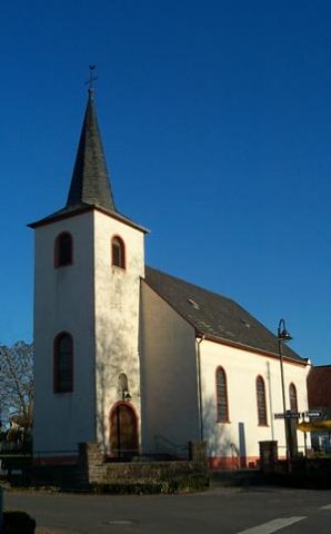
Sankt Brictius (1)
 250 m
Catholic Churches
Sankt Brictius (2)
Farmhouses and Farm Buildings
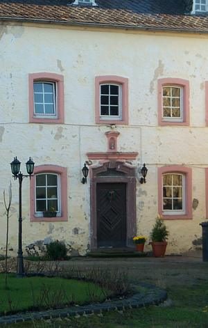
Portal von 1857
Field Names
Im Bungert
Farmhouses and Farm Buildings
Streckhof
Field Names