Historic Townscapes · Baroque / Rococo
Denkmalzone Hauptstraße 7-9
- Listed monument

Description
This description is only available in German.
Translate with Google opens this page in Google Translate (external service)
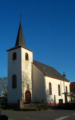
Die Denkmalzone gegenüber der dominierend an der Nordseite der Hauptstraße stehenden Kirche besteht aus den Bauerngehöften die sich um eine große Hoffläche gruppieren.
Nr.7 im Blickpunkt der Straße, bildet die westliche, Nr.8 die südliche und die Nr.9 die östliche Begrenzung. Eine Remise trennt Straße und Hofraum voneinander.
Classification
- Subject area
- Architectural and Art Monuments
- Category
- Historic Townscapes
- Date
- Circa 1700 bis circa 1780
- Period
- Baroque / Rococo
Location
- District
- Eifelkreis Bitburg-Prüm
- Collective municipality
- Bitburger Land
- Municipality
- Oberstedem
- Street
- Hauptstraße 7-9
- Field name
- Ortslage
- Coordinates
- WGS 84: 49.931170, 6.506197 (Position: exact) WGS 84: 49° 55′ 52.2″ N, 6° 30′ 22.3″ E UTM 32 (ETRS89): E 321031 · N 5533959
Sources
Data sources
- Homepage der Initiative Region Trier e.V. Sehen & Erleben - Bau-Denkmäler http://www.regiontrier.de/cgi/bin
On the internet
bitburgerland.de/index.php?id=304
Picture credits
- Picture 1: Google Earth
Last edited: 5 Dec 2007 Object ID: 10648
https://kulturdb.de/en/objekt/10648-oberstedem-denkmalzone-hauptstrasse-7-9
Nearby
The nearest objects
Farmhouses and Farm Buildings
Streuhof
Farmhouses and Farm Buildings
Streckhof
Field Names
In der Acht
 120 m
Catholic Churches
Sankt Brictius (1)
 120 m
Catholic Churches
Sankt Brictius (2)
Farmhouses and Farm Buildings
Portal von 1857
 220 m
Coats of Arms
Wappen der Gemeinde Oberstedem
Field Names