Farmhouses and Farm Buildings · Neoclassicism
Ehemaliges Wohnhaus von 1794
- Listed monument


© GeoBasis-DE / LVermGeoRP, dl-de/by-2-0
There is no picture of this object yet. Do you have a photo that you would like to make available to the Kulturdatenbank? Submit a picture
Description
This description is only available in German.
Translate with Google opens this page in Google Translate (external service)
In der straßenseitigen Traufwand des ehemaligen, heute nur noch als Wirtschaftsgebäude genutzten und innen weitgehend umgebauten Quereinhauses sitzt eine segmentbogige, profilierte Türeinfassung mit integriertem Oberlicht, im Türsturz datiert 1794.
Classification
- Subject area
- Architectural and Art Monuments
- Category
- Residential and Farm Buildings
- Object type
- Farmhouses and Farm Buildings
- Date
- 1794
- Period
- Neoclassicism
Location
- District
- Eifelkreis Bitburg-Prüm
- Collective municipality
- Bitburger Land
- Municipality
- Gindorf
- Street
- Zum Unterdorf
- Field name
- Ortslage
- Coordinates
- WGS 84: 50.011382, 6.646507 (Position: exact) WGS 84: 50° 00′ 41.0″ N, 6° 38′ 47.4″ E UTM 32 (ETRS89): E 331380 · N 5542550
Sources
Data sources
- Homepage der Initiative Region Trier e.V. Sehen & Erleben - Bau-Denkmäler http://www.regiontrier.de/cgi/bin
On the internet
Last edited: 1 Jun 2025 Object ID: 10694
https://kulturdb.de/en/objekt/10694-gindorf-ehemaliges-wohnhaus-von-1794
Nearby
The nearest objects
Historic Townscapes
Denkmalzone in der Hauptstraße
Farmhouses and Farm Buildings
Quereinhaus
Synagogues
Jüdische Kultur
Historic Townscapes
Ortsbild
Place Names / Local History
Ortsname / Ortsgeschichte
 30 m
Coats of Arms
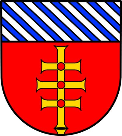
Wappen der Gemeinde Gindorf
 40 m
Catholic Churches
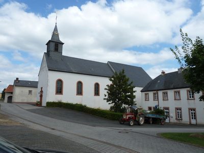
Sankt Urban
Farmhouses and Farm Buildings