Chapels · 20th Century
Friedhofskapelle
- Listed monument


© GeoBasis-DE / LVermGeoRP, dl-de/by-2-0
There is no picture of this object yet. Do you have a photo that you would like to make available to the Kulturdatenbank? Submit a picture
Description
This description is only available in German.
Translate with Google opens this page in Google Translate (external service)
[...] modernes Bauwerk mit einem großen, nach vorne spitz zulaufenden Schieferdach und einer ebenfalls spitz zulaufenden Vorderfront aus Kunstglas mit zwei Eingangsportalen. Vor der Kapelle steht ein dreifach geteilter weißer Glockenturm.
Classification
- Subject area
- Architectural and Art Monuments
- Category
- Religious Buildings
- Object type
- Chapels
- Date
- 1971
- Period
- 20th Century
Location
- District
- Eifelkreis Bitburg-Prüm
- Collective municipality
- Speicher
- Municipality
- Beilingen
- Street
- Speicherer Straße
- Field name
- Ortslage
- Coordinates
- WGS 84: 49.952772, 6.657068 (Position: exact) WGS 84: 49° 57′ 10.0″ N, 6° 39′ 25.4″ E UTM 32 (ETRS89): E 331933 · N 5536011
Sources
Data sources
- Matthias Thömmes - Hermann Schmitz: Kirchen und Kapellen im Speicherer Land. Arbeitskreis für Heimatgeschichte und -literatur im Eifelverein Ortsgruppe Speicher. 2004. ISBN: 3-00-014814-0
On the internet
Last edited: 20 Jan 2006 Object ID: 10705
https://kulturdb.de/en/objekt/10705-beilingen-friedhofskapelle
Nearby
The nearest objects
Field Names
Oberm Messenpfädchen
Field Names
Wolfsbaum
Field Names
Unter der Liegass am Messenpfädchen
Burial Mounds
Grabhügel
Place Names / Local History
Ortsname
 410 m
Coats of Arms
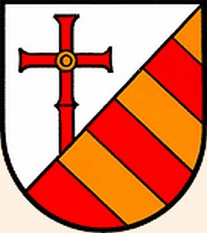
Wappen der Gemeinde Beilingen
 430 m
Field Names
In den Hanfstücker
Field Names