Catering, Inns and Hotels · Celtic / Roman Period
Schloss Grünhaus - Reste eines Aquädukts
- Listed monument


© GeoBasis-DE / LVermGeoRP, dl-de/by-2-0
There is no picture of this object yet. Do you have a photo that you would like to make available to the Kulturdatenbank? Submit a picture
Description
This description is only available in German.
Translate with Google opens this page in Google Translate (external service)
Im Park des Weingutes Grünhaus. [1]
Classification
- Subject area
- Architectural and Art Monuments
- Category
- Economy, Trade and Transport
- Object type
- Catering, Inns and Hotels
- Date
- Circa 500 vor Chr. bis circa 500 nach Chr.
- Period
- Celtic / Roman Period
Location
- District
- Trier-Saarburg
- Collective municipality
- Ruwer
- Municipality
- Mertesdorf
- Locality / location
- Maximin Grünhaus
- Field name
- Ober dem Schloß
- Coordinates
- WGS 84: 49.769313, 6.718063 (Position: exact) WGS 84: 49° 46′ 09.5″ N, 6° 43′ 05.0″ E UTM 32 (ETRS89): E 335686 · N 5515481
Sources
Data sources
- [1] Kremb/Lautzas: Landesgeschichtlicher Exkursionsführer Rheinland-Pfalz, Bd.2, 1991; Verlag Arbogast, 6756 Otterbach
On the internet
Last edited: 13 Sep 2012 Object ID: 1077
https://kulturdb.de/en/objekt/1077-mertesdorf-schloss-gruenhaus-reste-eines-aquaedukts
Nearby
The nearest objects
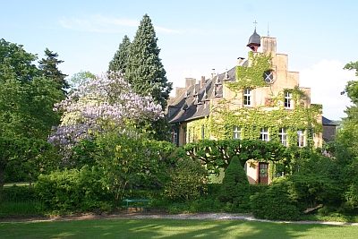 40 m
Foxglove Trees
Schloss Grünhaus - Paulownie
Poplars
Silberpappel
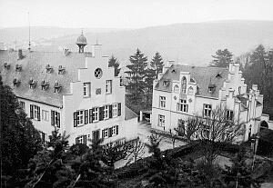 50 m
Manorial Residences and Estate Buildings
Schloss Grünhaus - Marienburg
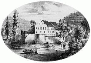 60 m
Manorial Residences and Estate Buildings
Weingut Schloss Grünhaus - Haupthaus
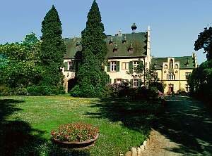 60 m
Manorial Residences and Estate Buildings
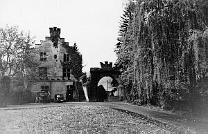
Weingut Schloss Grünhaus
 80 m
Farmhouses and Farm Buildings
Schloss Grünhaus - Kelterhaus
 90 m
Mills
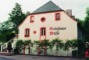
Grünhäuser Mühle
 120 m
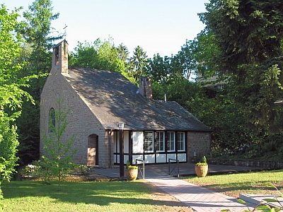
Protestant Churches